
Population 697 (2011) Unitary authority Local time Friday 10:00 PM | OS grid reference NY927576 Sovereign state United Kingdom | |
 | ||
Weather 8°C, Wind S at 10 km/h, 87% Humidity | ||
Hexhamshire was a county of Northern England. It existed for several hundred years until it was incorporated into Northumberland in 1572.
Contents
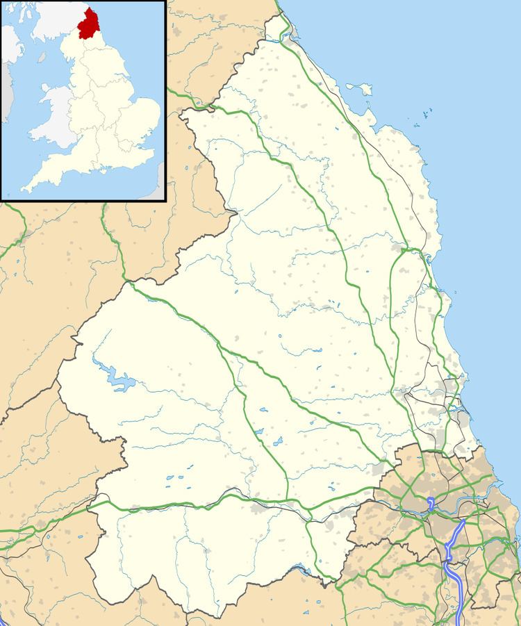
Map of Hexhamshire, UK
County
The county probably originated as one of the districts of the Kingdom of Northumbria, the town of Hexham then being the seat of a bishopric. It later lost its privileges, and became considered part of County Durham.
In the early 12th century, Henry I of England decided to weaken the power of the prince bishops of Durham by removing parts of their realm. In doing so, he elevated Hexhamshire to county status, with Hexham as its county town.
Hexhamshire remained a county until 1572, when it was incorporated into Northumberland by Act of Parliament, by 14 Eliz. 1 c. 13 ("An Act for the annexing of Hexhamshire to the Countye of Northumberland"). At the same time, the district was transferred from the see of Durham to the see of York, where it remained until 1837.
Parish
In modern use, Hexhamshire is a name of a civil parish south of Hexham. The parish covers a large but mostly sparse area, including the villages of Dalton and Whitley Chapel, Broadwell House, and Hexhamshire Common. The current civil parish was formed in 1955 by the union of the Hexhamshire High Quarter, Hexhamshire Middle Quarter and Hexhamshire West Quarter parishes.[1] Hexhamshire Low Quarter remains a separate civil parish, to the north.