
Canton Caudebec-en-Caux Area 7.26 km² | Region Normandy Local time Friday 9:36 PM | |
 | ||
Weather 9°C, Wind SE at 8 km/h, 91% Humidity | ||
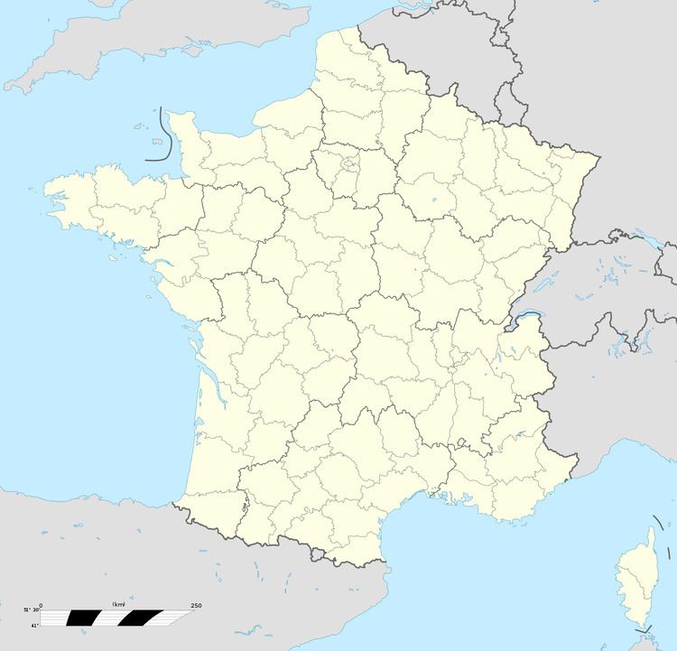
Heurteauville is a commune in the Seine-Maritime department in the Normandie region in north-western France.
Contents
Map of 76940 Heurteauville, France
Geography
A farming village situated in a meander of the river Seine, some 12 miles (19 km) west of Rouen, on the D65 road.
Old peat bogs have been preserved as a nature reserve alongside the forest.
The commune is thought to be unique in France for having two separate ferry services over the river.
References
Heurteauville Wikipedia(Text) CC BY-SA