
Country United States Time zone Central (CST) (UTC-6) Area 10.47 km² Population 498 (2010) | Elevation 7 ft (2 m) GNIS feature ID 2583537 Area code Area code 225 | |
 | ||
Cn railroad work hester louisiana
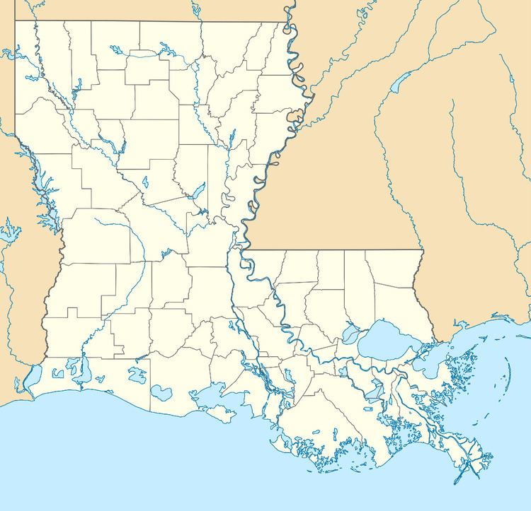
Hester is an unincorporated community and census-designated place in St. James Parish, Louisiana, United States. Its population was 498 as of the 2010 census. The community is located along Louisiana Highway 44 on the north bank of the Mississippi River.
Contents
Geography
Hester is located at 30.0276541°N 90.7710381°W / 30.0276541; -90.7710381. According to the U.S. Census Bureau, the community has an area of 4.041 square miles (10.47 km2); 3.460 square miles (8.96 km2) of its area is land, and 0.581 square miles (1.50 km2) is water.
References
Hester, Louisiana Wikipedia(Text) CC BY-SA