Girish Mahajan (Editor)

Heshigten Banner

Updated on
Edit
Like
Comment
Share on FacebookTweet on TwitterShare on LinkedInShare on Reddit
Country
  
China

Time zone
  
China Standard (UTC+8)

Elevation
  
1,100 m

Local time
  
Saturday 12:12 AM

Province
  
Inner Mongolia

Prefecture-level city
  
Chifeng

Postal code
  
025350

Area
  
20,637 km²

Area code
  
0476

Heshigten Banner wwwglobalgeoparkorgUploadFiles20136172jpg

Points of interest
  
Wulan Butong Tourism, Hexigten World Geologic, Dalinor National Nature R

Hexigten Qi (Mongolian: ᠬᠡᠰᠢᠭᠲᠡᠨ ᠬᠣᠰᠢᠭᠤ Кэсигтэн қосиу Kesigten qosiɣu; simplified Chinese: 克什克腾旗; traditional Chinese: 克什克騰旗; pinyin: Kèshíkèténg Qí) is a banner of Inner Mongolia, China. The Hishigten Mongols live here.

Contents

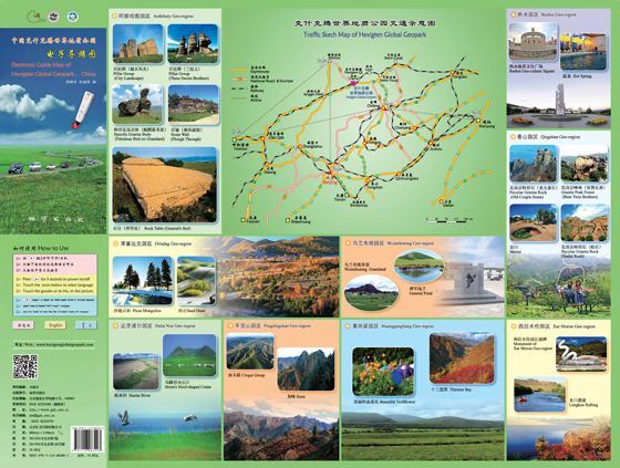
Map of Hexigten, Chifeng, Inner Mongolia, China

It has a population of more than 256,000, which includes 8 ethnic groups, i.e. Han, Mongol, Hui, Manchu, Daur, Korean, Dong and Zhuang. It is under the jurisdiction of Chifeng.

Transport

  • China National Highway 303
  • China National Highway 306
  • Hanbai Highway
  • Jitong Railway
  • Economy

  • Pillar industries: mining, renewable energy, tourism, stockbreeding,
  • GDP: RMB ¥5.79 billion in 2008
  • Composition of GDP in 2008: RMB ¥0.94 billion in primary industry, ¥3.8 billion in secondary industry, ¥1.05 billion in third industry
  • From 2006 to 2008, Hexigten ranked No.1 for 3 consecutive years in wind power production among all the counties of China. Till the end of 2008, 532 wind turbines had been installed. Total installed generating capacity was 525 megawatt, and yearly generated energy was 1124 GWh.
  • Sights

  • Heshigten Global Geopark is one of the UNESCO Global Geoparks. Its 1,750 km2 area is contained in eight separate areas of scenic beauty and geologic significance, including volcanic, glacial, and desert features.
  • References

    Heshigten Banner Wikipedia