
Carries Riksvei 654 Total length 544 m Longest span 170 m Bridge type Cantilever bridge | Crosses Røyrasundet Inaugurated 4 September 1976 Opened 4 September 1976 Clearance below 32 m | |
 | ||
Similar | ||
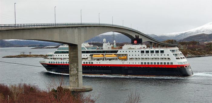
The Herøy Bridge (Norwegian: Herøybrua) is a cantilever bridge that connects the islands of Gurskøya and Leinøya in the municipality of Herøy in Møre og Romsdal county, Norway. It is part of a bridge network which connects all of the main islands of the municipality together. It is about 8 kilometres (5.0 mi) southeast of Fosnavåg.
The bridge is 544 metres (1,785 ft) long, the longest span is 170 metres (560 ft), and the maximum clearance to the sea is 32 metres (105 ft). Herøy Bridge was opened by King Olav V on 4 September 1976.
References
Herøy Bridge Wikipedia(Text) CC BY-SA