Canton Marquise Local time Friday 4:04 PM | Area 5.89 km² Population 182 (1999) | |
 | ||
Intercommunality Communauté de communes de la Terre des Deux Caps Weather 12°C, Wind S at 13 km/h, 77% Humidity | ||
Hervelinghen is a commune in the Pas-de-Calais department in the Hauts-de-France region of France.
Contents
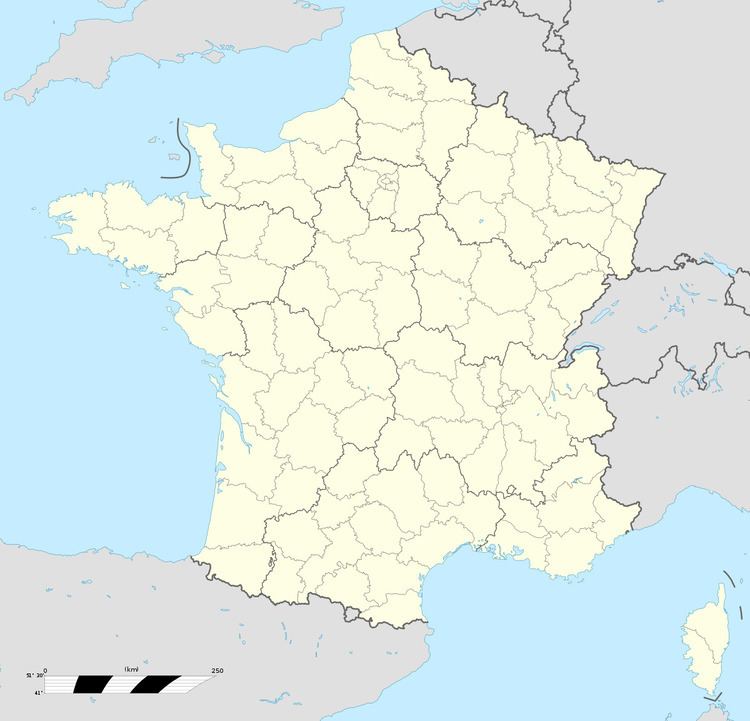
Map of Hervelinghen, France
Geography
A small farming village situated near to Wissant, some 13 miles (21 km) north of Boulogne, on the D244 road.
History
It was formerly called Hervemingham, even after the conquest of Calais by the French army. In those days, the population of the village consisted of five English families, who were allowed to remain in their homes when the French commissaires arrived in the village in 1558. To obtain this favour, they argued that they wanted to become loyal subjects of the King of France. Descendants of these families still live in the village.
Since the time of the English occupation, a long stone mast with a cross on the top has stood in the center of the village.
Today, Hervelinghen is a part of the parish of Notre-Dame-des-Flots. Saint-Inglevert Airfield lies to the east of the village.
