
Elevation 450 m Local time Friday 4:03 PM | Area 9.87 km² | |
 | ||
Weather 6°C, Wind N at 18 km/h, 65% Humidity Region krajs Bardejov District, Prešov Region | ||
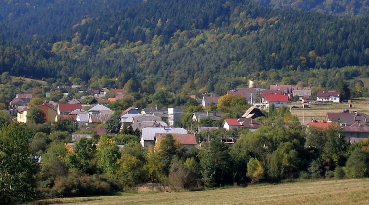
Hervartov is a village and municipality in Bardejov District in the Prešov Region of north-east Slovakia.
Contents
Map of 086 22 Hervartov, Slovakia
History
In historical records the village was first mentioned in 1406. The wooden church in the village was built around 1500 and is a Roman Catholic wooden church. It has beautiful frescoes inside and due to its cultural and historical value it was declared a UNESCO World Heritage Site in 2008.
Geography
The municipality lies at an altitude of 450 metres and covers an area of 9.872 km2 (3.81 sq mi). It has a population of about 503 people.
References
Hervartov Wikipedia(Text) CC BY-SA