
Country France Department Cher Time zone CET (UTC+1) Area 49.87 km² Local time Friday 2:54 PM | Region Centre-Val de Loire Canton Sancergues INSEE/Postal code 18110 / 18140 Population 1,016 (1999) Arrondissement Bourges | |
 | ||
Weather 17°C, Wind NE at 5 km/h, 55% Humidity | ||
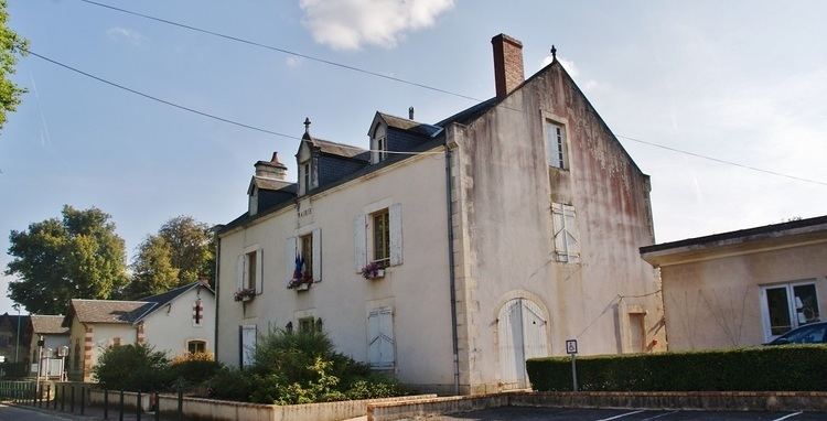
Herry is a commune in the Cher department in the Centre region of France.
Contents
Map of 18140 Herry, France
Geography
An area of forestry and farming, comprising the village and a dozen hamlets situated by the banks of the canal lateral a la Loire, some 27 miles (43 km) northeast of Bourges, at the junction of the D7, D920 and the D52 roads. The river Vauvise forms most of the commune's western border and the Loire most of its eastern border. A nature reserve, the Val de Loire National Nature Reserve was created here in 1995, along 12 miles (19 km) of the Loire valley.
Sights
References
Herry Wikipedia(Text) CC BY-SA