
Admin. region Niederbayern Area 25.15 km² Population 1,200 (31 Dec 2008) | Elevation 405 m (1,329 ft) Local time Friday 2:50 PM Postal code 84097 | |
 | ||
Weather 8°C, Wind NW at 18 km/h, 52% Humidity | ||
Herrngiersdorf is a municipality in the district of Kelheim in Bavaria in Germany. The village is dominated by the large, square Schloss Herrngiersdorf, a brewery.
Contents
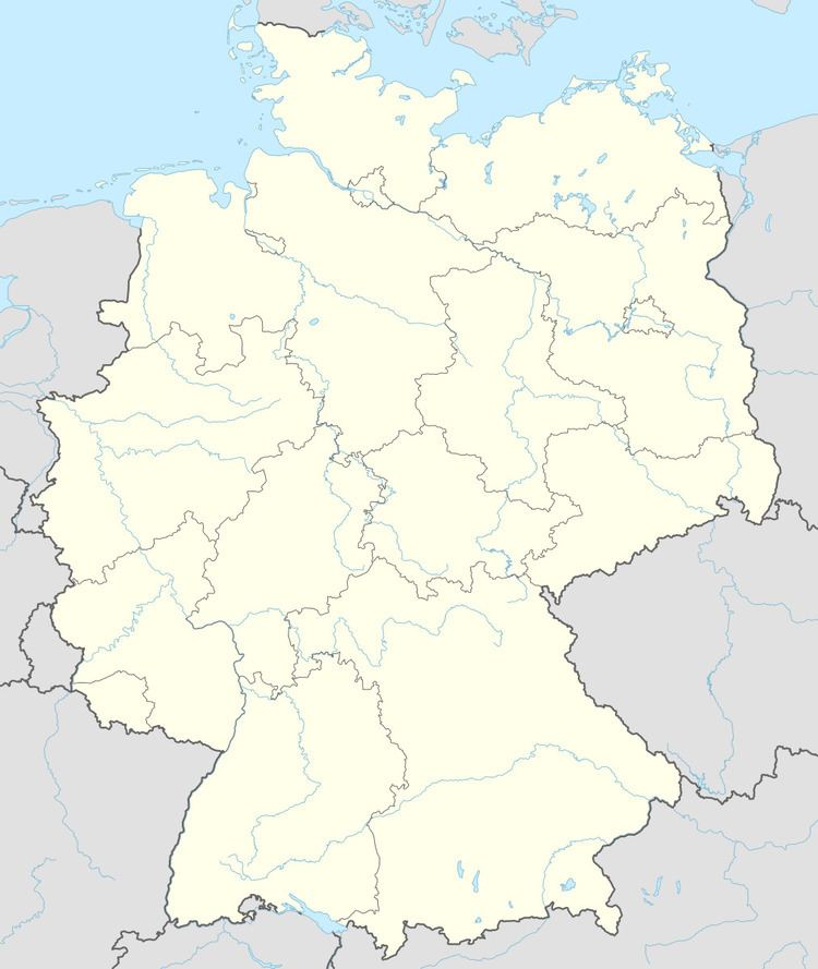
Map of Herrngiersdorf, Germany
Geography
Herrngiersdorf is located south of Langquaid and consists of Herrngiersdorf, Sandsbach, Semerskirchen, and Sittelsdorf.
References
Herrngiersdorf Wikipedia(Text) CC BY-SA