
Admin. region Mittelfranken Elevation 423 m (1,388 ft) Area 81.71 km² Local time Friday 2:37 PM Dialling code 09825 | Time zone CET/CEST (UTC+1/+2) Population 7,658 (31 Dec 2008) Postal code 91567 | |
 | ||
Weather 8°C, Wind NW at 18 km/h, 53% Humidity | ||
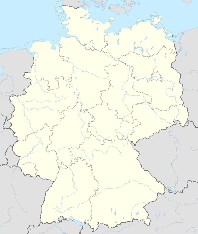
Herrieden is a town in the district of Ansbach and situated in the Middle Franconia region of Bavaria, Germany. It lies along the upper Altmühl river, about 9 km (6 mi) southwest of the city of Ansbach, 47 km southwest of the city of Nürnberg, 95 km east of Heilbronn and 144 km northwest of Munich. It is part of a cooperative with the nearby small cities of Aurach, Burgoberbach, and Leutershausen. Herrieden is located close to the A6 autobahn between Nürnberg and Heilbronn. Herrieden is administratively over the large towns of Neunstetten to the north, Rauenzell to the east and Elbersroth to the southwest. Other towns and villages administratively under Herrieden include Birkach, Bittelhof, Böckau, Brünst, Buschhof, Esbach, Gimpertshausen, Gräbenwinden, Heuberg, Höfstetten, Hohenberg, Lammelbach, Lattenbuch, Leibelbach, Leuckersdorf, Leutenbuch, Limbach, Manndorf, Mühlbruck, Niederdombach, Oberschönbronn, Regmannsdorf, Rös, Roth, Sauerbach, Schernberg, Schönau, Seebronn, Sickersdorf, Stadel, Stegbruck, Steinbach, Velden and Winn.
Map of 91567 Herrieden, Germany
The first recorded settlement of Herrieden was a monastery called Hasenried (Latin Nazaruda) in 782.