
Local time Friday 11:40 AM | Area 9.85 km² Population 423 (1999) | |
 | ||
Intercommunality Communauté de communes du Saint-Polois Weather 11°C, Wind SE at 14 km/h, 75% Humidity | ||
Hernicourt is a commune in the Pas-de-Calais department in the Hauts-de-France region of France.
Contents
Map of 62130 Hernicourt, France
Geography
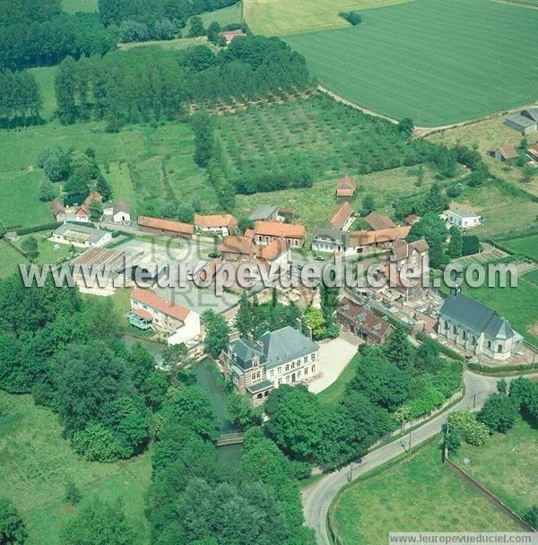
A commune made up of three farming villages (Sautricourt, St.Martin and Hernicourt) that surround the neighbouring commune of Wavrans-sur-Ternoise. Situated 2.5 miles (4 km) north of St.Pol and 24 miles (39 km) northwest of Arras, on the D99 and the D343 roads.
Places of interest
References
Hernicourt Wikipedia(Text) CC BY-SA