
Airport type Public 4/22 4,500 Address Hermiston, OR 97838, USA Elevation 196 m | Owner City of Hermiston Elevation AMSL 644 ft / 196 m 4,500 1,372 Code HES Phone +1 541-567-5521 | |
 | ||
Similar Hermiston Aviation, Hermiston Public Works, Tri‑Cities Airport, Eastern Oregon Regional, Umatilla Municipal Court | ||
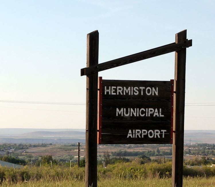
Hermiston Municipal Airport (IATA: HES, ICAO: KHRI, FAA LID: HRI, formerly S22) is a city-owned, public-use airport located two nautical miles (3.7 km) southeast of the central business district of Hermiston, in Umatilla County, Oregon, United States.
Although most U.S. airports use the same three-letter location identifier for the FAA and IATA, this airport is assigned HRI by the FAA and HES by the IATA.
Facilities and aircraft
Hermiston Municipal Airport covers an area of 267 acres (108 ha) at an elevation of 644 feet (196 m) above mean sea level. It has one runway designated 4/22 with an asphalt surface measuring 4,500 by 75 feet (1,372 x 23 m).
For the 12-month period ending May 1, 2004, the airport had 24,850 aircraft operations, an average of 68 per day: 98% general aviation, 2% air taxi, and <1% military. At that time there were 42 aircraft based at this airport: 81% single-engine, 9.5% multi-engine and 9.5% ultralight.