
Time zone CET/CEST (UTC+1/+2) Population 1,727 (31 Dec 2008) Local time Friday 10:15 AM | Elevation 408-427 m (−993 ft) Area 13.02 km² Postal code 66919 Dialling code 06333 | |
 | ||
Weather 6°C, Wind E at 5 km/h, 70% Humidity | ||
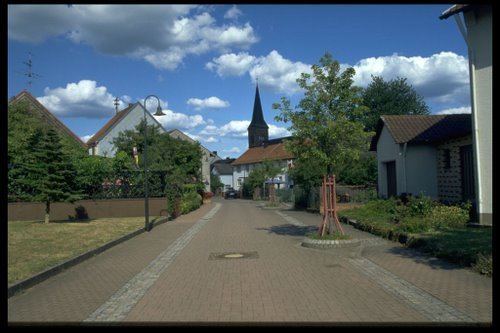
Hermersberg is a municipality in Südwestpfalz district, in Rhineland-Palatinate, western Germany. It is situated on the western edge of the Palatinate Forest, approx. 15 km northeast of Pirmasens, on top of the Sickingen Heights, and biggest settlement on top.
Contents
Map of Hermersberg, Germany
Inhabitants
69% of the population in Hermersberg is Catholic, 23% are Protestants; the evolution of population can be proven since 1800. From Year 1970 the number of inhabitants is slowly decreasing.
Evolution of population (since 1800):
References
Hermersberg Wikipedia(Text) CC BY-SA