
Elevation 1,609 m Local time Thursday 11:10 PM | Time zone MST (UTC-7) Zip code 80732 Area code 970 | |
 | ||
Weather -5°C, Wind SE at 10 km/h, 85% Humidity | ||
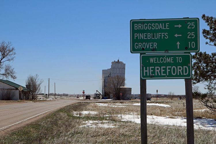
Hereford is an unincorporated community and a U.S. Post Office in Weld County, Colorado, United States. The Hereford Post Office has the ZIP Code 80732.
Contents
Map of Hereford, CO 80729, USA
Geography
Hereford is located at 40°58′30″N 104°18′19″W (40.974973,-104.305401).
References
Hereford, Colorado Wikipedia(Text) CC BY-SA