 | ||
Weather -18°C, Wind E at 14 km/h, 74% Humidity | ||
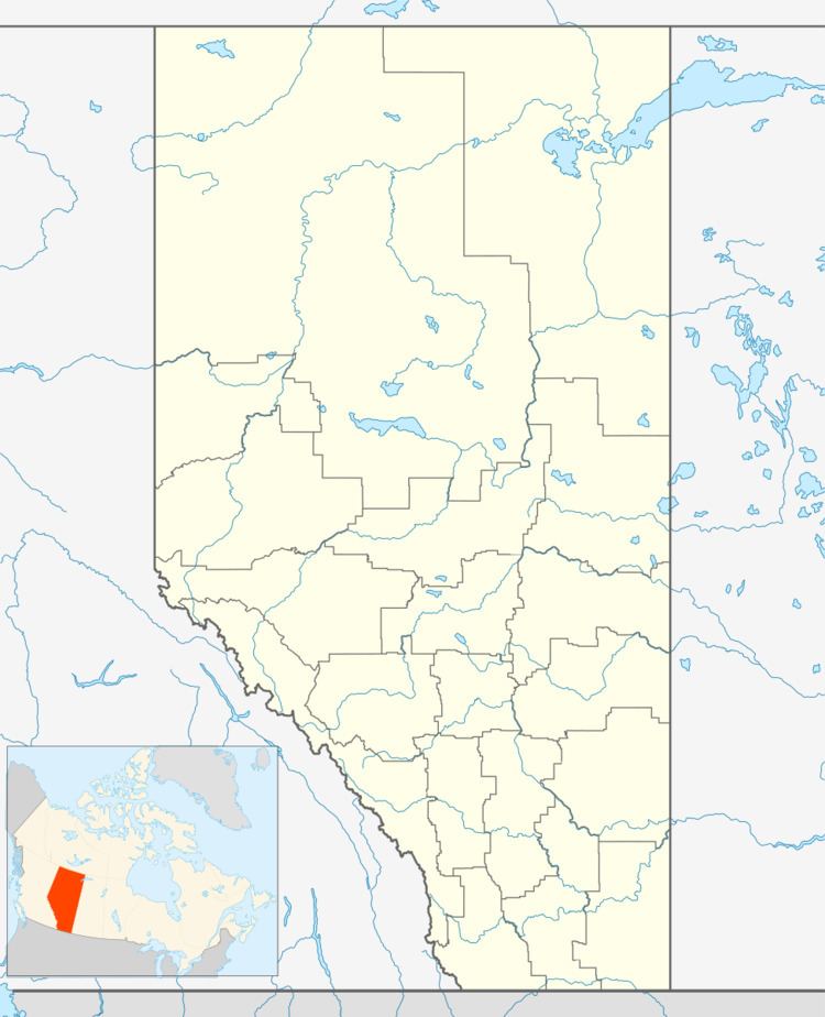
Herder is an unincorporated community in Alberta, Canada within Red Deer County that is recognized as a designated place by Statistics Canada. It is located on the south side of Highway 11, 1.8 km (1.1 mi) east of Red Deer. It is adjacent to the designated place of Balmoral SE to the northeast.
Demographics
As a designated place in the 2016 Census of Population conducted by Statistics Canada, Herder recorded a population of 65 living in 17 of its 18 total private dwellings, a change of 7001182000000000000♠18.2% from its 2011 population of 55. With a land area of 0.57 km2 (0.22 sq mi), it had a population density of 114.0/km2 (295.3/sq mi) in 2016.
As a designated place in the 2011 Census, Herder had a population of 55 living in 16 of its 17 total dwellings, a -6.8% change from its 2006 population of 59. With a land area of 0.55 km2 (0.21 sq mi), it had a population density of 100.0/km2 (259/sq mi) in 2011.
As of the 2006 Census of Canada, Herder had a total population of 59 living in 21 dwellings. With a land area of 0.55 km2 (0.21 sq mi), it had a population density of 107.3/km2 (278/sq mi).
