Postcode(s) 3312 Local time Friday 11:20 AM | Postal code 3312 | |
 | ||
Weather 20°C, Wind SE at 14 km/h, 68% Humidity | ||
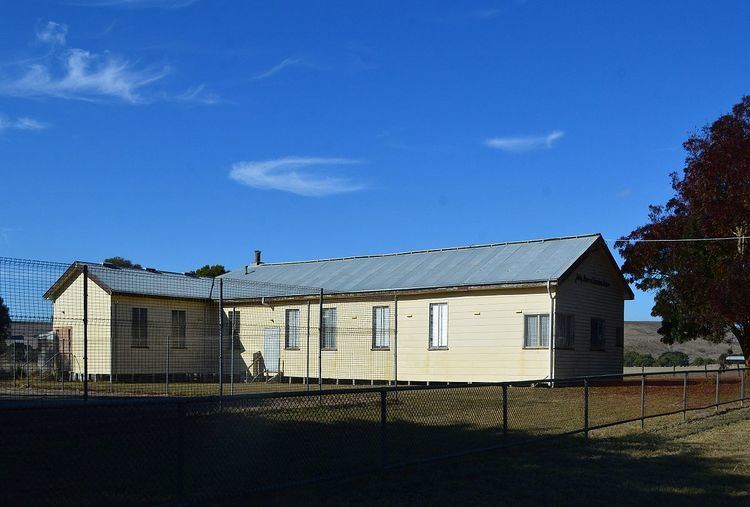
Henty is a town in south western Victoria, Australia. The town is located in the Shire of Glenelg local government area, 373 kilometres (232 mi) west of the state capital, Melbourne.
Contents
Map of Henty VIC 3312, Australia
Henty is in the middle of the Henty wine region which is also named after the early settlers.
History
The Henty and Merino area was the region of the first white settlement in what is now Victoria by the Henty brothers, starting in 1834. The indigenous custodians were the Bonedai Gundigj clan.
The railway station opened in 1884, on the Casterton railway line branch from the Portland line at Branxholme. The station closed in 1967 and the line in 1977.
Parts of the early pastoral runs were later used for soldier settlement schemes after both world wars. The World War II scheme provided a total of 3,597 acres (1,456 ha) in 25 lots to returned soldiers and their families in what was known as Hindson's Estate.
Henty Post Office opened on 16 April 1885 and closed in 1977.
