
Population 364 (2011 census) Postal code 3310 | Postcode(s) 3310 | |
 | ||
Location 342 km (213 mi) W of Melbourne226 km (140 mi) W of Ballarat48 km (30 mi) W of Hamilton77 km (48 mi) N of Portland23 km (14 mi) south west of Casterton | ||
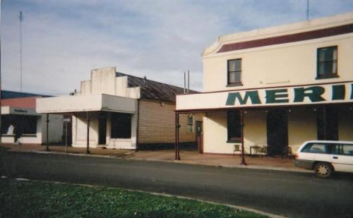
Merino /məˈriːnoʊ/ is a town in the Western District of Victoria, Australia. The town is located in the Shire of Glenelg local government area, 363 kilometres west of the state capital, Melbourne. At the 2011 census, Merino had a population of 364.
Map of Merino VIC 3310, Australia
The first European settlement of the area was in 1837, when Francis Henty, brother of Edward Henty, established Merino Downs station. Henty established the station after a report on the high quality pasture from explorer Major Thomas Mitchell at the Henty property near Portland. A store and post office agency was established in 1854 and the first town lots were sold the next year. An official Post Office opened on 1 June 1858. The town continued to grow through the 1850s and 1860s with the construction of churches, hotels and schools. In 1870, the courthouse was moved from Digby to Merino. The Merino co-operative butter factory was established around 1885. After World War I, the area was opened up for soldier settlement. In 1955 Merino was connected to the electricity grid.
Merino has a heritage cinema which is housed in the Merino hotel. Golfers play at the course of the Merino Golf Club on Digby Road.