
Primary inflows Basin countries United States Average depth 51 ft (16 m) Surface elevation 93 m | Surface area 1,153 acres (4.67 km) Max. depth 110 ft (34 m) Area 4.666 km² | |
 | ||
Similar Oswego Lake, Tualatin Academy, Blue Lake Regional Park, L L "Stub" Stewart State Park, Evergreen Wings and Waves W | ||
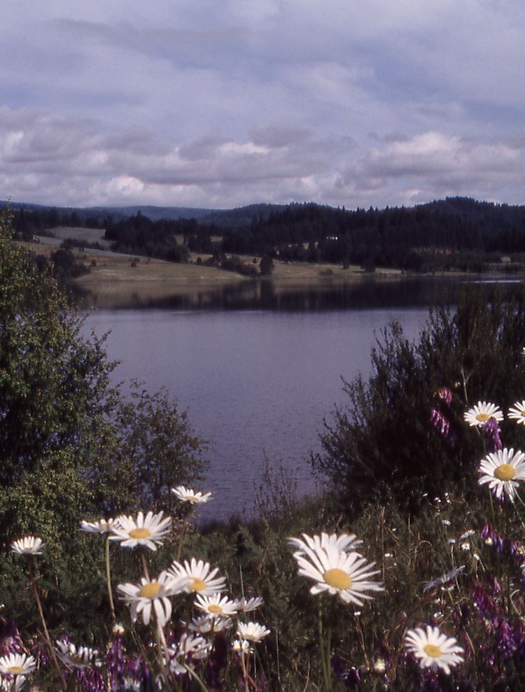
Henry Hagg Lake (also Hagg Lake) is an artificial lake in northwest Oregon, in the United States. The reservoir is an impoundment of Scoggins Creek, which drains a small portion of the eastern side of the Northern Oregon Coast Range. The lake and creek are part of the Tualatin River’s watershed in the Tualatin Valley. It is located about 5 miles (8.0 km) southwest of Forest Grove.
Contents
Map of Henry Hagg Lake, Oregon 97119, USA
Scoggins Dam
Scoggins Dam was built in 1975 by the United States Bureau of Reclamation, which still owns and operates the facility. Hagg Lake contains 53,640 acre feet (66,160,000 m3) of water that can be used. Some water from the lake is used by Clean Water Services to augment the flow of the Tualatin River during the summer months to reduce the temperature and improve water quality. Other users include four cities and the Tualatin Valley Water District.