
Country United States ZIP codes 69349, 69358 Elevation 1,234 m Population 106 (2013) Area code 308 | Time zone Mountain (MST) (UTC-7) FIPS code 31-22150 Area 75 ha Local time Thursday 4:43 PM | |
 | ||
Weather 7°C, Wind NE at 34 km/h, 34% Humidity | ||
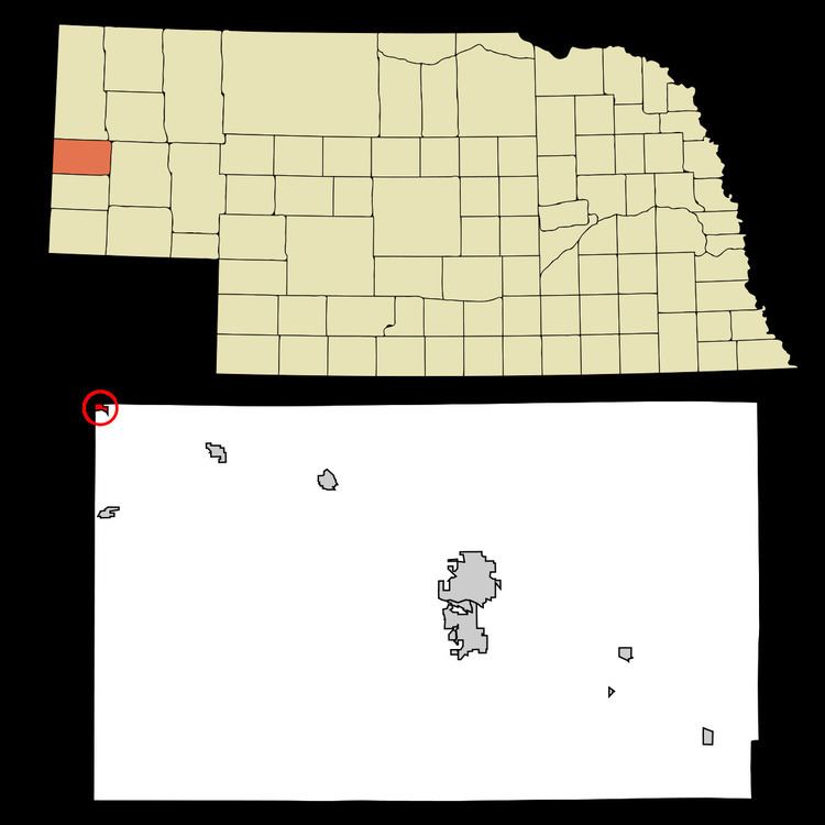
Henry is a village in Scotts Bluff County, Nebraska, United States. It is part of the Scottsbluff, Nebraska Micropolitan Statistical Area. The population was 106 at the 2010 census.
Contents
Map of Henry, NE 69358, USA
History
Henry was founded in 1909 when the railroad was extended to that point. It was named for Henry Nichols, the late son of the original owner of the town site.
Geography
Henry is located at 41°59′54″N 104°2′48″W (41.998249, -104.046801). The town's western boundary borders Wyoming's eastern state boundary.
According to the United States Census Bureau, the village has a total area of 0.29 square miles (0.75 km2), all of it land.
2010 census
As of the census of 2010, there were 106 people, 46 households, and 26 families residing in the village. The population density was 365.5 inhabitants per square mile (141.1/km2). There were 52 housing units at an average density of 179.3 per square mile (69.2/km2). The racial makeup of the village was 90.6% White, 1.9% African American, 1.9% Native American, 1.9% Asian, 2.8% from other races, and 0.9% from two or more races. Hispanic or Latino of any race were 6.6% of the population.
There were 46 households of which 26.1% had children under the age of 18 living with them, 43.5% were married couples living together, 10.9% had a female householder with no husband present, 2.2% had a male householder with no wife present, and 43.5% were non-families. 37.0% of all households were made up of individuals and 8.7% had someone living alone who was 65 years of age or older. The average household size was 2.30 and the average family size was 2.96.
The median age in the village was 42 years. 23.6% of residents were under the age of 18; 4.7% were between the ages of 18 and 24; 29.1% were from 25 to 44; 31.1% were from 45 to 64; and 11.3% were 65 years of age or older. The gender makeup of the village was 53.8% male and 46.2% female.
2000 census
As of the census of 2000, there were 162 people, 56 households, and 42 families residing in the village. The population density was 547.9 people per square mile (208.5/km²). There were 59 housing units at an average density of 199.5 per square mile (75.9/km²). The racial makeup of the village was 98.15% White, 0.62% African American, 0.62% Pacific Islander, 0.62% from other races. Hispanic or Latino of any race were 4.32% of the population.
There were 56 households out of which 35.7% had children under the age of 18 living with them, 57.1% were married couples living together, 12.5% had a female householder with no husband present, and 25.0% were non-families. 19.6% of all households were made up of individuals and 12.5% had someone living alone who was 65 years of age or older. The average household size was 2.89 and the average family size was 3.24.
In the village, the population was spread out with 28.4% under the age of 18, 9.3% from 18 to 24, 25.3% from 25 to 44, 23.5% from 45 to 64, and 13.6% who were 65 years of age or older. The median age was 35 years. For every 100 females there were 92.9 males. For every 100 females age 18 and over, there were 81.3 males.
As of 2000 the median income for a household in the village was $36,250, and the median income for a family was $43,750. Males had a median income of $27,500 versus $24,375 for females. The per capita income for the village was $17,348. None of the families and 6.3% of the population were living below the poverty line, including no under eighteens and 33.3% of those over 64.