
 | ||
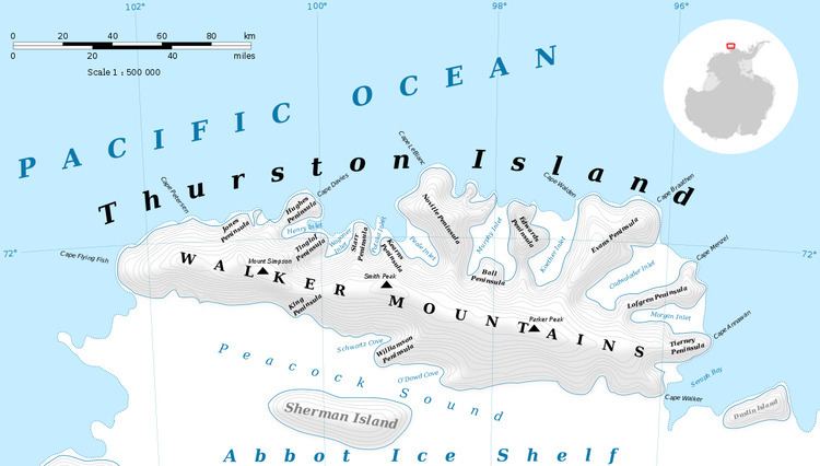
Hendersin Knob (72°9′S 101°12′W) is an ice-covered knob rising between the heads of Craft Glacier and Rochray Glacier in the southwest part of Thurston Island, Antarctica. It was first plotted from air photos taken by U.S. Navy Operation Highjump, 1946–47, and was named by the Advisory Committee on Antarctic Names for aviation radioman Wendell K. Hendersin, U.S. Navy, a member of the expedition who lost his life in a seaplane crash at Thurston Island on December 30, 1946.
Contents
Map of Hendersin Knob, Antarctica
Maps
References
Hendersin Knob Wikipedia(Text) CC BY-SA