
Time zone CET (UTC+1) Area 56.47 km² Local time Thursday 1:18 PM | County Bács-Kiskun Postal code 6034 Population 4,522 (2015) Area code 76 | |
 | ||
Weather 8°C, Wind S at 3 km/h, 71% Humidity | ||
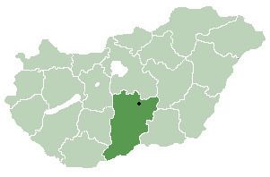
Helvécia is a large village in Bács-Kiskun county, in the Southern Great Plain region of southern Hungary.
Contents
Map of Helv%C3%A9cia, Hungary
History
Helvécia was founded in 1892 by Swiss-born teacher Heinrich Eduard Weber (Wéber Ede in Hungarian). After the great phylloxera epidemic that had destroyed much of the historical vineyard plantings in the 1870s, sandy soils of the Great Plains became much more valuable for grape cultivation than before. Helvécia was settled by 501 vineyard workers, most of them from the Balaton wine country. It gained independence of nearby Kecskemét in 1952.
Geography
It covers an area of 73.66 km2 (28 sq mi) and has a population of 4522 people (2015). Most of its inhabitants work in agriculture. Approximately half of the population lives in hamlets. The rest is distributed between two centres approximately 3 km apart from each other: the older Helvécia-Ótelep, and the Szabó-Sándor-telep or Újtelep, originally a housing area for the former collective farm.
Twin towns — Sister cities
Helvécia is twinned with Sirnach, Switzerland
Accident
In 1973, a severe level crossing accident took place here with 37 people at least killed.