
Admin. region Freiburg Time zone CET/CEST (UTC+1/+2) Population 6,040 (31 Dec 2008) Postal code 79423 Administrative region Freiburg | Elevation 254 m (833 ft) Area 11.71 km² Local time Sunday 10:01 AM Dialling code 07634 | |
 | ||
Weather 12°C, Wind S at 21 km/h, 81% Humidity | ||
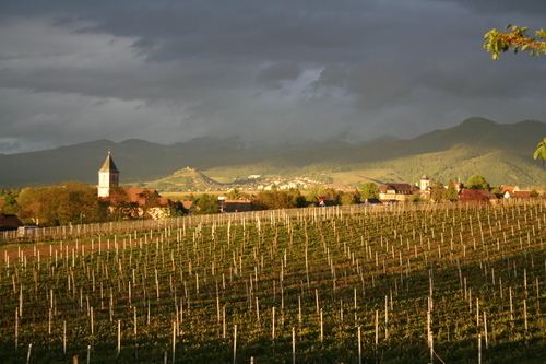
Heitersheim is a town in the district Breisgau-Hochschwarzwald, Baden-Württemberg in southern Germany. The name of the school located in Heitersheim is Johanniterschule.
Contents
Map of Heitersheim, Germany
Geography
The city is located in Markgräflerland in South Baden. The city contains older central part Heiterscheim and newer Gallenweiler.
History
Partner cities
The Austrian town of Vandans is the sister city of Heitersheim since 1991.
References
Heitersheim Wikipedia(Text) CC BY-SA