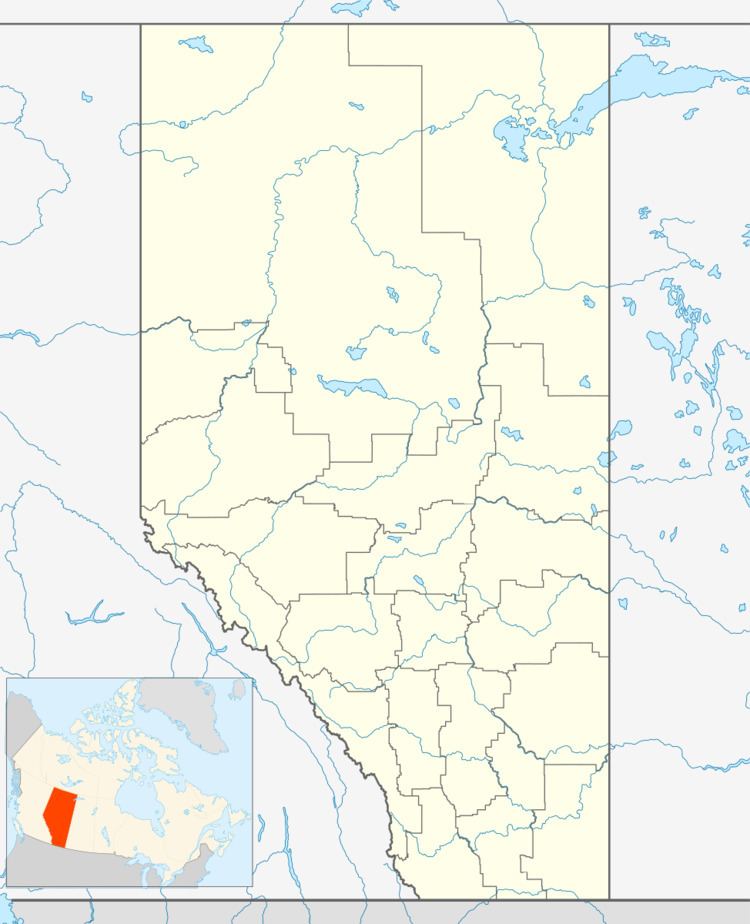
Country Canada Time zone MST (UTC-7) Elevation 725 m Local time Sunday 2:51 AM | Highways 855 Population 160 (2016) Province Alberta | |
 | ||
Weather -1°C, Wind NW at 40 km/h, 85% Humidity | ||
Heisler is a village in central Alberta, Canada. It is located 23 km south of Daysland and 20 km north of Forestburg.
Contents
Map of Heisler, AB, Canada
The community has the name of Martin Heisler, the original owner of the land.
Demographics
In the 2016 Census of Population conducted by Statistics Canada, the Village of Heisler recorded a population of 160 living in 74 of its 87 total private dwellings, a 7000600000000000000♠6% change from its 2011 population of 151. With a land area of 0.64 km2 (0.25 sq mi), it had a population density of 250.0/km2 (647.5/sq mi) in 2016.
In the 2011 Census, the Village of Heisler had a population of 151 living in 71 of its 81 total dwellings, a -1.3% change from its 2006 population of 153. With a land area of 0.76 km2 (0.29 sq mi), it had a population density of 198.7/km2 (514.6/sq mi) in 2011.
The population of the Village of Heisler according to its 2010 municipal census is 150.
In 2006, Heisler had a population of 153 living in 79 dwellings, a 16.4% decrease from 2001. The village has a land area of 0.75 km2 (0.29 sq mi) and a population density of 203.5 inhabitants per square kilometer.
