
Country Canada Census division 7 Time zone MST (UTC-7) Elevation 708 m Population 824 (2016) Local time Saturday 9:44 AM | Postal code span T0B 1A0 Area 175 ha Province Alberta Waterway Wavy Lake | |
 | ||
Weather -9°C, Wind N at 24 km/h, 88% Humidity | ||
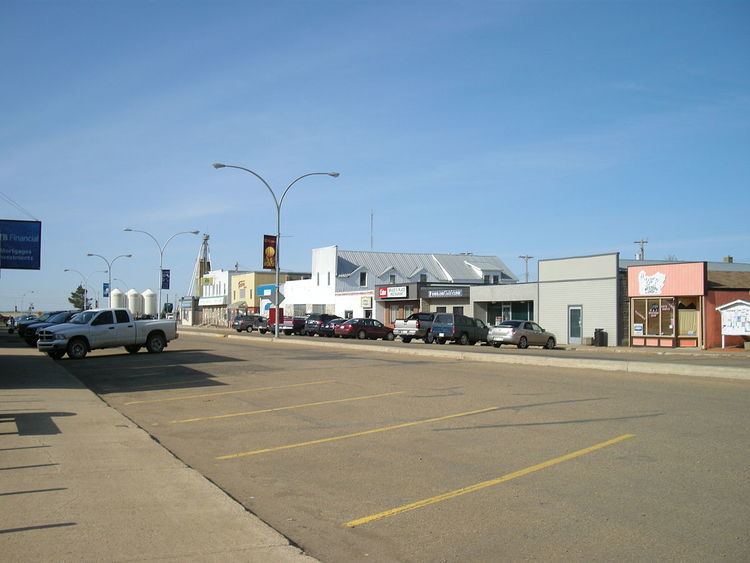
Daysland is a town in central Alberta located on Highway 13, 43 kilometres (27 mi) east of Camrose.
Contents
Map of Daysland, AB, Canada
History
The community was named for its founder and first mayor, Edgerton W. Day, who purchased 116,483 acres (47,139 ha) of land from the CPR in 1904 to form the basis of Daysland.
Demographics
In the 2016 Census of Population conducted by Statistics Canada, the Town of Daysland recorded a population of 824 living in 330 of its 356 total private dwellings, a 7000210000000000000♠2.1% change from its 2011 population of 807. With a land area of 1.75 km2 (0.68 sq mi), it had a population density of 470.9/km2 (1,219.5/sq mi) in 2016.
In the 2011 Census, the Town of Daysland had a population of 807 living in 329 of its 352 total dwellings, a -1.3% change from its 2006 population of 818. With a land area of 1.75 km2 (0.68 sq mi), it had a population density of 461.1/km2 (1,194.4/sq mi) in 2011.