
Country Peoples Republic of China Population 694,640 (2000) Province Heilongjiang Area 14,679.88 km2 | ||
Hegang (Chinese: ; pinyin: , also known as Haoli and Heligang), is a prefecture-level city in Heilongjiang province of the Peoples Republic of China, situated in the southeastern section of the Lesser Khingan Range, facing Jiamusi across the Songhua River to the south and Russias Jewish Autonomous Oblast across the Amur River to the north. Hegang is one of the principal coal-producing cities in China. Hegang covers an administrative area of 14,679.88 km2 (5,667.93 sq mi) and according to the 2010 Census, has a population of 1,058,665 inhabitants. Its built-up area is home to 664,471 inhabitants spread out over 5 urban districts including Dongshan being urbanized, even though still largely rural.
Contents
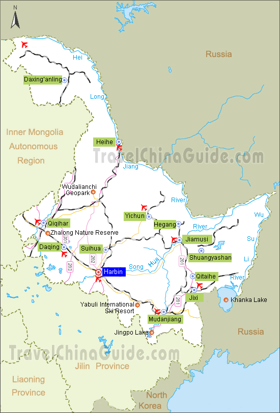
Map of Hegang
Chinese industrial hegang morning
History
The region of Hegang was a desolate and uninhabited area until the late 1890s. In 1906, the area of Hegang City was under the administration of Tangyuan County under the Qing Dynasty. Since then, the government has been encouraging people to farm in the region. In 1914, coalfield was discovered in Haoli, and Heilongjiang Government approved to set up Xinghua Mines () which is jointly invested by merchants including Shen Songnian (). The area was also renamed Xingshan () after the Xinghua Coal Mine. The Hegang mines were founded in 1916 by a Chinese entrepreneur with Russian capital. Hegang has witnessed rapid economic growth thanks to its rich coal resources. In 1926 a railway was built between Hegang and Jiamusi, some 30 miles to the south on the Songhua River. A coal carrier fleet was privately financed in 1930 by General Zhang Xueliang. On August 1932, Hegang mines were occupied by the Japanese as the Japanese Empire advanced through Manchuria. The mines were further developed during the Japanese occupation of Manchuria. On August 11, 1945, Hegang was occupied by the Soviet Red Army, and was relegated to the Communist Force. Since several major coal mines in southern Manchuria were controlled by Kuomintang Forces, Hegang became one of the main coal-producing area of Communist Force in the Chinese Civil-War, playing an important role in guaranteeing the acquisition of weapons and other war materials. Hegang was renamed in 1949, and set up as a prefecture-level city in Heilongjiang.
Geography
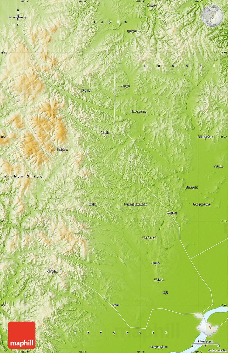
Hegang is located in the northeast part of Heilongjiang province, spanning from latitude 47° 04??48° 9? N to longitude 129° 40??132° 31 E. Bordering prefecture-level cities are:
The region also faces Russias Jewish Autonomous Oblast across the Amur River with an international border of 235 kilometres (146 mi). Lesser Khingan Mountains crosses the city. The total administrative area of Hegang is 14,648 square kilometres (5,656 sq mi). Amur river and Songhua river are the main rivers in Hegang.
Economy
In 2010, Hegangs GDP grew 16.1% to RMB 25.1 billion, ranking tenth among 13 prefectures and prefecture-level cities in the province. Agriculture and animal husbandry are considered two pillars of the citys primary industry. Heavy industry dominates the citys industrial sector. Other major industries in the city include agricultural products processing, food and beverage, pharmaceuticals, dairy and related products,forestry industries, and the production and supply of electricity.