
Primary inflows Max. length 15 miles (24 km) Area 54.39 km² Width 6.4 km Water volume 400.9 million m³ | Max. width 4 miles (6.4 km) Length 24 km Shore length 104.6 km | |
 | ||
Catchment area 905 square miles (2,340 km) | ||
Gulper fishing on hebgen lake teaser
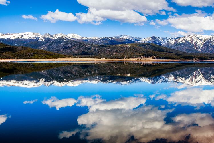
Hebgen Lake is located in Southwest Montana and is created by Hebgen Dam. It is well known for the 1959 Hebgen Lake earthquake (magnitude 7.1 to 7.5) which occurred nearby on August 17, 1959, forming Quake Lake which is located immediately downstream.
Contents
Map of Hebgen Lake, Montana 59758, USA
RecreationEdit
Hebgen Lake and the surrounding area offer many recreational activities: camping, fishing, boating, and hiking. Campgrounds include Rainbow Point and Cherry Creek. Rainbow Point is the largest campground on the lake, offering four "loops." Each loop contains approximately 20 campsites. Each campsite can accommodate a full-size camper and one or two vehicles.
References
Hebgen Lake Wikipedia(Text) CC BY-SA