
OS grid SO335940 Elevation 452 m | Topo map OS Landranger 137 Prominence 190 m Listing Marilyn | |
 | ||
Similar Corndon Hill, Burrow, Caer Caradoc, Stiperstones, Brown Clee Hill | ||
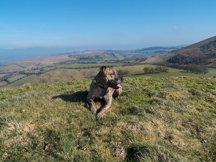
Heath Mynd is a hill in the English county of Shropshire. It is fairly unnotable except for its Marilyn status, a feature caused by the sharp drop on all sides. It is connected to Corndon Hill by a low col, and is only just inside England, being just one mile from the border with Wales. The nearby village is Norbury; nearest towns are Bishop's Castle and Church Stretton. Its nearest neighbour (visible in the photo) is called Cefn Gunthly.
Map of Heath Mynd, Montgomery, UK
References
Heath Mynd Wikipedia(Text) CC BY-SA