
Country United States County Barber FIPS code 20-31150 Elevation 415 m Zip code 67061 Local time Saturday 8:19 AM | Time zone Central (CST) (UTC-6) GNIS feature ID 0470537 Area 148 ha Population 96 (2013) Area code 620 | |
 | ||
Weather 6°C, Wind NE at 8 km/h, 61% Humidity | ||
Hazelton is a city in Barber County, Kansas, United States. As of the 2010 census, the city population was 93.
Contents
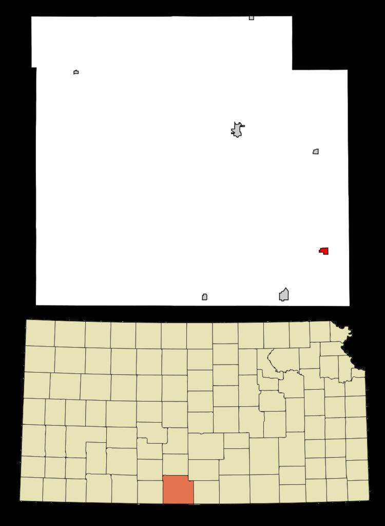
Map of Hazelton, KS 67061, USA
History
Hazelton was founded in 1883. It was named for its founder, Rev. J. Hazelton, a pioneer settler.
The first post office in Hazelton was established in October 1883.
Geography
Hazelton is located at 37°5′24″N 98°24′8″W (37.089862, -98.402261). According to the United States Census Bureau, the city has a total area of 0.57 square miles (1.48 km2), all of it land.
2010 census
As of the census of 2010, there were 93 people, 45 households, and 32 families residing in the city. The population density was 163.2 inhabitants per square mile (63.0/km2). There were 58 housing units at an average density of 101.8 per square mile (39.3/km2). The racial makeup of the city was 90.3% White, 1.1% African American, 1.1% Native American, 3.2% from other races, and 4.3% from two or more races. Hispanic or Latino of any race were 9.7% of the population.
There were 45 households of which 22.2% had children under the age of 18 living with them, 62.2% were married couples living together, 6.7% had a female householder with no husband present, 2.2% had a male householder with no wife present, and 28.9% were non-families. 28.9% of all households were made up of individuals and 11.1% had someone living alone who was 65 years of age or older. The average household size was 2.07 and the average family size was 2.47.
The median age in the city was 49.9 years. 16.1% of residents were under the age of 18; 9.7% were between the ages of 18 and 24; 16.2% were from 25 to 44; 35.5% were from 45 to 64; and 22.6% were 65 years of age or older. The gender makeup of the city was 57.0% male and 43.0% female.
2000 census
As of the census of 2000, there were 144 people, 55 households, and 40 families residing in the city. The population density was 253.4 people per square mile (97.5/km²). There were 67 housing units at an average density of 117.9 per square mile (45.4/km²). The racial makeup of the city was 86.81% White, 2.08% African American, 3.47% Native American, 5.56% from other races, and 2.08% from two or more races. Hispanic or Latino of any race were 6.25% of the population.
There were 55 households out of which 29.1% had children under the age of 18 living with them, 67.3% were married couples living together, 1.8% had a female householder with no husband present, and 25.5% were non-families. 23.6% of all households were made up of individuals and 12.7% had someone living alone who was 65 years of age or older. The average household size was 2.62 and the average family size was 3.12.
In the city, the population was spread out with 28.5% under the age of 18, 4.9% from 18 to 24, 23.6% from 25 to 44, 24.3% from 45 to 64, and 18.8% who were 65 years of age or older. The median age was 41 years. For every 100 females there were 114.9 males. For every 100 females age 18 and over, there were 119.1 males.
The median income for a household in the city was $28,125, and the median income for a family was $33,750. Males had a median income of $21,667 versus $22,500 for females. The per capita income for the city was $12,745. There were 5.4% of families and 16.5% of the population living below the poverty line, including 32.6% of under eighteens and 15.4% of those over 64.
Education
Hazelton is served by USD 255 South Barber.
Hazelton High School was closed through school unification. The Hazelton High School mascot was Panthers.