Supriya Ghosh (Editor)

Hazelhatch

Updated on
Edit
Like
Comment
Share on FacebookTweet on TwitterShare on LinkedInShare on Reddit
Local time
  
Saturday 1:14 PM

Province
  
Leinster

Hazelhatch

Weather
  
12°C, Wind W at 31 km/h, 92% Humidity

My first aerial video celbridge hazelhatch


Hazelhatch (Irish: Collchoill) is an area on the border between County Kildare and South Dublin in Ireland. It is located approximately halfway between Celbridge and Newcastle. It is located on the R405 regional road. The Grand Canal passes through the area, and Hazelhatch is one of the places of recreational activity along the Grand Canal, with fishing and boating. There is one pub in Hazelhatch, beside the canal. Although it is not a conventional village, there is a concentration of one-off houses around the area.

Contents

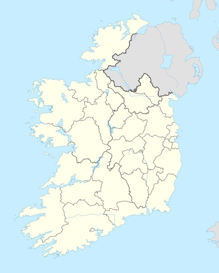
Map of Hazelhatch, Co. Dublin, Ireland

Transport

  • The main Southern and Western Railway to Dublin (from Cork, Limerick, Galway, Ballina etc.) passes through Hazelhatch. Hazelhatch and Celbridge railway station opened on 4 August 1846 and closed for goods traffic on 9 June 1947.
  • Recently the railway line was expanded from double track to quadruple track, in order to improve the commuter and intercity services. There is a proposal to electrify of the line between Hazelhatch and Dublin but this has been shelved following the economic downturn in Ireland. Hazelhatch is referred by railwaymen and trainspotters as The 'Hatch.' Nearby Stacumny Bridge is one of the most popular places in Ireland for trainspotting due to the quadruple tracks, the frequency and high speeds of trains and the freight and engineering trains that must pass here to leave Heuston.
  • Hazelhatch is located equidistant from the M4 at Celbridge and the N7 Naas Road. Other nearby places include Lyons House, Stacumny House and Ardclough.
  • References

    Hazelhatch Wikipedia