
Local time Saturday 8:10 AM | ||
 | ||
Weather -8°C, Wind N at 16 km/h, 92% Humidity | ||
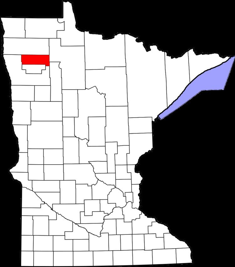
Hazel is a small unincorporated community in Pennington County, Minnesota, United States, along the Canadian Pacific Railway. The community is only marked on county abstracts and has no postal code. Hazel is the location of a Cenex Harvest States shipping facility.
Map of Hazel, MN 56754, USA
A post office called Hazel was established in 1904, and remained in operation until 1954. The community was named for the abundance of hazel trees near the original town site.
While specific village census records are not available, the population of River Falls Township, which contains Hazel, was 323 in 1940, and had fallen to 204 by 1960. Some of those residents would have inhabited nearby farms and not necessarily lived in the Hazel village. By 2010, the population of River Falls township had dropped to 178.
Today, Hazel can be found along Minnesota State Highway 3, near the junction of 170th Ave. NE. Besides the Cenex shipping facility, most of the area is covered by cropland, farms, woods, and single-family rural homes. It is about 8 miles southeast of Thief River Falls, MN, a major regional town, and about 5 miles east of St. Hilaire, MN. St. Pauli Lutheran Church is 1 mile north of Hazel, and the Seven Clans Casino is 4 miles east.
The Hazel area is home to desirable farmland, suitable for growing wheat, barley, alfalfa, sunflowers, corn, and soybeans. Much of the surrounding area has high crop productivity scores of 80 to 89 on a scale of 1 to 100. The Hazel area is serviced by the Pennington County Sheriff, and Thief River Falls Fire Department, and Public School District 564 (Thief River Falls area).