
Area 3.58 km² | Time zone BST (UTC+6) | |
 | ||
Website bangladesh.gov.bd/maps/images/dhaka/HajaribagT.gif | ||
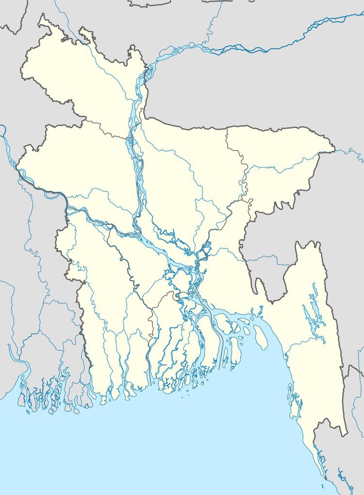
Hazaribagh (Bengali: হাজারিবাগ) is a Thana of Dhaka District in the Division of Dhaka, Bangladesh.
Contents
Geography
Hazaribagh is located at 23.734722°N 90.369444°E / 23.734722; 90.369444. Its total area is 3.58 km².
Demographics
This Hazaribagh has a population of 75458. Males constitute 58.67% of the population, and females 41.33%. Hazaribagh has an average literacy rate of 53.67%, and the national average of 32.4% literate.
Administration
Hazaribagh has 3 Unions/Wards, 15 Mauzas/Mahallas, and 1 village.
References
Hazaribagh Thana Wikipedia(Text) CC BY-SA