
OS grid reference SE836464 Sovereign state United Kingdom Postcode district YO42 Dialling code 01759 | Post town YORK Local time Tuesday 6:24 AM | |
 | ||
Weather 3°C, Wind W at 10 km/h, 92% Humidity | ||
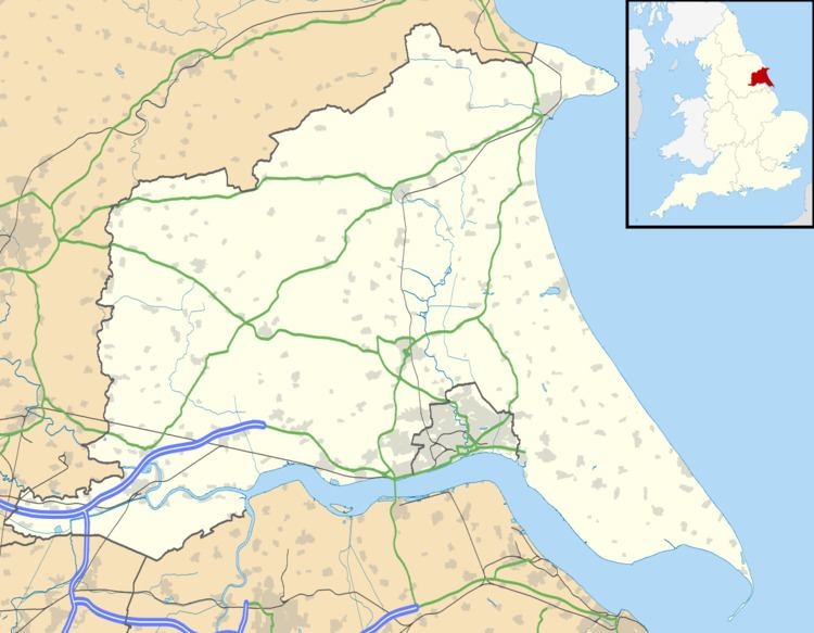
Burnby is a village in the East Riding of Yorkshire, England. It is situated approximately 2.5 miles (4 km) south-east of the market town of Pocklington and 4 miles (6.4 km) north-west of the market town of Market Weighton. It lies 1 mile (1.6 km) to the east of the A1079 road.
Map of Burnby, York, UK
It forms part of the civil parish of Hayton and Burnby.
The church dedicated to St Giles was designated a Grade II* listed building in 1967 and is now recorded in the National Heritage List for England, maintained by Historic England.
Burnby was served by Nunburnholme railway station on the York to Beverley Line between 1847 and 1951.
References
Burnby Wikipedia(Text) CC BY-SA