
Peak Hays Canyon Peak Length 40 mi (64 km) N-S | Elevation 7920+ ft (2414+ m) Width 10 mi (16 km) Country United States of America | |
 | ||
Region | ||
The Hays Canyon Range is a mountain range in northwest Washoe County, Nevada, adjacent the California border. The Surprise Valley with its alkali lakes and the Warner Mountains lie to the west.
Contents
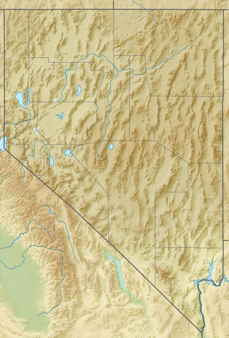
Map of Hays Canyon Range, Nevada 89412, USA
DescriptionEdit
The Hays Canyon Range is a mostly linear, north-south trending range, variable in width, about 40 mi long. The range overlooks the linear Surprise Valley to the west; high elevation dry lakes, above 5500 ft lie to the northeast. Crooks Lake lies in the north of the lower elevation section of the range.
The highpoint of the range is Hays Canyon Peak, 7,916 feet (2,413 m) at the extreme south of the range. Other peaks from north to south are:
Fortynine Mountain, 7,462 feet (2,274 m)Big Hat Mountain, 6,854 feet (2,089 m)Drag Road Canyon–Button Brush FlatThe CratersLittle Hat Mountain, 7,166 feet (2,184 m)Divine Peak, 7,462 feet (2,274 m) (in east)Hays Canyon Peak, 7,916 feet (2,413 m) (west of center)Pegleg CanyonRed Mountain, 6,974 feet (2,126 m)References
Hays Canyon Range Wikipedia(Text) CC BY-SA