
Country Turkey Time zone EET (UTC+2) Licence plate 06 Elevation 1,259 m Local time Saturday 2:41 PM Province Ankara Province | Region Central Anatolia Postal code 06860 Website www.haymana.gov.tr Area 2,976 km² Area code 0312 | |
 | ||
Weather 3°C, Wind W at 10 km/h, 48% Humidity | ||
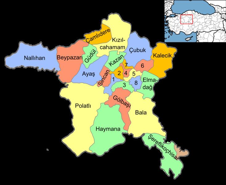
Haymana is a town and district of Ankara Province in the Central Anatolia region of Turkey, 72 km south of the capital, Ankara. According to the 2010 census, the population of the district is 33,886, of whom 9,091 live in the town of Haymana. The district covers an area of 2,976 km², and the average elevation is 1259 m.
Contents
Map of Haymana, 06860 Haymana%2FAnkara, Turkey
Etymology
According to the 1074-dated dictionary Dīwān ul-Lughat al-Turk, haymana means prairie in Turkish.
History
Archaeological excavations were launched in Gavur Kalesi, a castle situated in the village of Dereköy, in the years 1930 and 1998. The results showed that it was an important Phrygian settlement. Besides, the tumuli located in Türkhöyük and Oyaca villages prove that the area was also inhabited during the Hittite period.
After the periods of the Roman and Byzantine rule, the area was captured by the Seljuk Turks in 1127. After the Battle of Köse Dağ it came under Ilkhanate control for a while. In the mid 14th century the area was annexed by the Ottomans. After a brief period of Timurid rule in the wake of the Battle of Ankara in 1402, it was re-captured by the Ottomans.
Towns
Haymana is famous for its Turkish baths. The waters are volcanically heated and are said to contain many healing properties, particularly for those suffering from arthritic ailments. There are hotels for weekend visitors to the springs.