
NRHP Reference # 02000496 Added to NRHP 16 May 2002 | Area 71 ha | |
 | ||
Location Roughly bounded by St. Mary's St., Glenwood Ave., and Williamson Dr., Raleigh, North Carolina Restaurants Hayes Barton Cafe & D, TK Kaffee, Lilly's Pizza, Yummy Monkey | ||
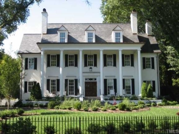
The Hayes Barton Historic District is a neighborhood located northwest of downtown Raleigh, North Carolina. Hayes Barton, an upper class neighborhood designed by landscape architect Earle Sumner Draper, contains 457 buildings on 1,750 acres (7.1 km2). The neighborhood design includes roads fitted to the contours of the land and features several public parks. The Hayes Barton boundaries are St. Mary's Street, Glenwood Avenue, and Williamson Drive. In 2002, the district was listed on the National Register of Historic Places.
Map of Hayes Barton, Raleigh, NC 27608, USA
References
Hayes Barton Historic District Wikipedia(Text) CC BY-SA