Time zone CET (UTC+1) Area 12.23 km² Local time Saturday 11:21 AM | Canton Hayange INSEE/Postal code 57306 /57700 Population 15,135 (2007) | |
 | ||
Weather 7°C, Wind SW at 24 km/h, 100% Humidity | ||
Hayange (German : Hayingen, Lorraine Franconian: Héngen/Haiéngen) is a commune in the Moselle department in Grand Est in north-eastern France.
Contents
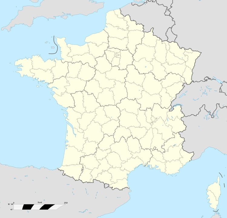
Map of Hayange, France
Outlying villages include Marspich and Saint-Nicolas-en-Forêt, Konacker and Ranguevaux.
Economy
Hayange is located in the iron manufacturing region of Lorraine; within Hayange is the former Sogerail plant, a railway rail manufacturer, dating to 1892 as Usine Saint Jacques.
History
Archaeological evidence indicates that iron ore was already mined here in Roman times. Human settlement in the area during the Merovingian period is confirmed by a Merovingian cemetery discovered by iron miners in the Hamévillers Valley, on the edge of Hayange and along the line of a Roman road believed to have linked Rheims with Metz.
During the early Medieval period the town was known as "Heiyingen Villa", a name indicating a settlement within a forested area. The first mention of the town in an official record dates from 821, during the reign of Louis the Pious, Western Emperor and King of the Franks, one of the sons of Charlemagne.
Transportation
Hayange is located at the crossroads of the D952 and the D13/57 near the A30.
Hayange railway station offers a daily link to Luxembourg and Metz.
Hayange has daily bus service to Luxembourg, Thionville and Metz.
Twin towns
Miscellaneous
Hayange's main educational institutions are: Lycée Les Grands Bois, Collège Hurlevent and LEP Maryse Bastié.
