Country Canada Census division 10 Time zone MST (UTC−7) Elevation 770 m Population 495 (2016) Local time Saturday 4:02 AM | Area code(s) +1-780, +1-587 Area 58 ha Province Alberta | |
 | ||
Weather -1°C, Wind SE at 14 km/h, 89% Humidity Waterways Big Hay Lake, Bittern Lake | ||
Hay Lakes is a village in central Alberta, Canada. It is located along Highway 21, approximately 32 km (20 mi) north of Camrose and 50 km (31 mi) southeast of Edmonton. It was known as the Village of Hay Lake between 1928 and 1932.
Contents
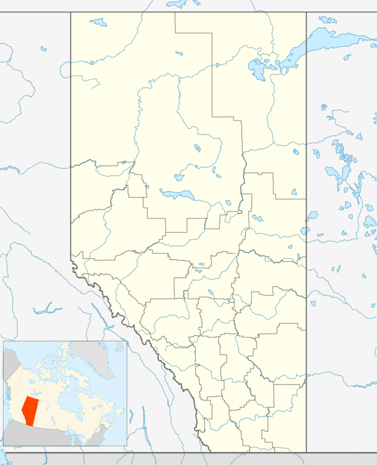
Map of Hay Lakes, AB, Canada
Demographics
In the 2016 Census of Population conducted by Statistics Canada, the Village of Hay Lakes recorded a population of 495 living in 191 of its 203 total private dwellings, a 7001165000000000000♠16.5% change from its 2011 population of 425. With a land area of 0.59 km2 (0.23 sq mi), it had a population density of 839.0/km2 (2,173.0/sq mi) in 2016.
In the 2011 Census, the Village of Hay Lakes had a population of 425 living in 170 of its 187 total dwellings, a 17.4% change from its 2006 population of 362. With a land area of 0.58 km2 (0.22 sq mi), it had a population density of 732.8/km2 (1,897.8/sq mi) in 2011.
The population of the Village of Hay Lakes according to its 2008 municipal census is 429.
In 2006, Hay Lakes had a population of 362 living in 152 dwellings, a 4.6% increase from 2001. The village has a land area of 0.58 square kilometres (0.22 sq mi) and a population density of 621.9/km2 (1,611/sq mi).
