
Population 13,101 (2011 census) Postcode(s) 3123 Postal code 3123 | Established 1880s Area 3.8 km² | |
 | ||
Location 7 km (4 mi) SE of Melbourne | ||
Hawthorn East is a suburb of Melbourne, Victoria, Australia, 7 km east of Melbourne's Central Business District. Its local government area is the City of Boroondara. At the 2011 Census, Hawthorn East had a population of 13,101.
Contents
- Map of Hawthorn East VIC 3123 Australia
- History
- Places of interest
- Education
- Public transport
- Tram routes
- Train routes
- References
Map of Hawthorn East VIC 3123, Australia
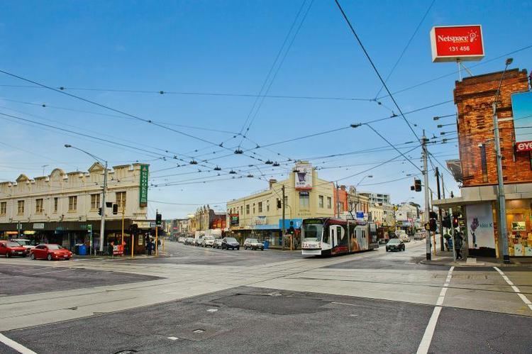
The suburb is roughly bounded by Barkers Road to the north, Burke Road to the east, Toorak Road and the Monash Freeway to the south and Auburn Road to the west.
Hawthorn East is the home of a number of head offices for some of Australia's largest companies, including Coles and Bunnings.
History
Hawthorn East was originally established in the 1880s and many of the historical buildings and houses are still well-preserved. It is located in the local government area of the City of Boroondara and is between two shopping strips, located on Glenferrie Road and Burke Road.
Places of interest
Fritsch Holzer Park is a large open space, popular for recreational activities and named after Augustus Fritsch and the Holzer brothers, who formed the Upper Hawthorn Brick Company on this site in 1883. The former Hawthorn Council purchased the site in 1972 and used it as a landfill site until 1986, then a temporary waste transfer station until 1989. In 1995 a project was launched to reconstruct this area into a park. Anderson Park is another significant park in the area and offers panoramic views of the Melbourne CBD. Other parks of note include Cato Park (part of the original property of Frederick Cato) and Victoria Road Reserve.
The head office of Coles (one of Australia's biggest companies & second largest supermarket) is located in Hawthorn East, adjacent to Toorak Rd. The Coles Myer group which was acquired by Western Australia conglomerate Wesfarmers in 2007 (site opened in 1987)was the original purpose for the site, which was the former Toorak Drive-In Theatre.
Education
Primary and secondary schools within Hawthorn East include Alia College, Auburn Primary School, Auburn South Primary School, Bialik College and Auburn High School (formerly Hawthorn Secondary College). Auburn Primary School was established in 1889.
Public transport
Hawthorn East is served by the following routes: