
Population 134 (2011 Census) Postcode district IP29 | Sovereign state United Kingdom Local time Saturday 9:29 AM | |
 | ||
Weather 13°C, Wind W at 29 km/h, 82% Humidity | ||
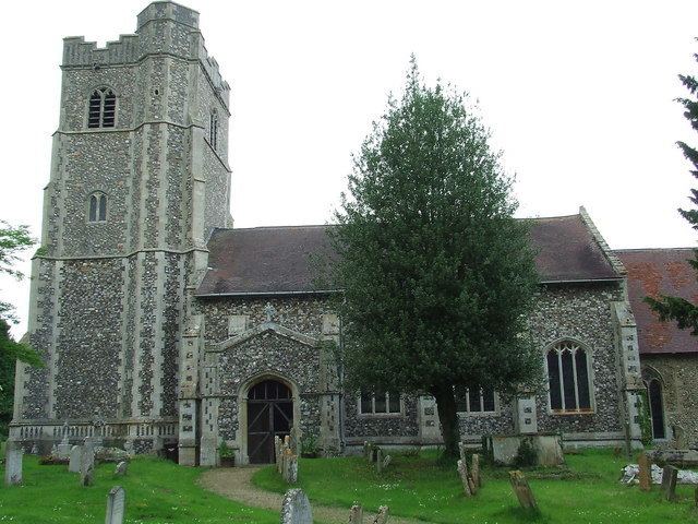
Hawstead is a small village in Suffolk, England. It is located 5 kilometres (3 mi) south of Bury St. Edmunds between the B1066 and A134 roads, in a fork formed by the River Lark and a small tributary.
Contents
Map of Hawstead, Bury Saint Edmunds, UK
Hawstead Place, previously the seat of the Drury family, is now a farmhouse. Sir William Drury was sheriff and knight of the shire for Suffolk.
Demography
According to the Office for National Statistics, at the time of the United Kingdom Census 2001, Hawstead had a population of 334 with 121 households. falling to a population of 134 in 56 households at the 2011 Census.
References
Hawstead Wikipedia(Text) CC BY-SA