
Quadrant NW Established 1981 Area 3.2 km² Population 10,559 (2006) | Ward 2 Elevation 1,230 m | |
 | ||
Website Hawkwood Community Association Weather 0°C, Wind S at 5 km/h, 76% Humidity | ||
Hawkwood is a residential neighbourhood in the north-west quadrant of Calgary, Alberta. It is bounded to the north by Country Hills Boulevard, to the east by Sarcee Trail, to the south by John Laurie Boulevard, and to the west by Nose Hill Drive.
Contents
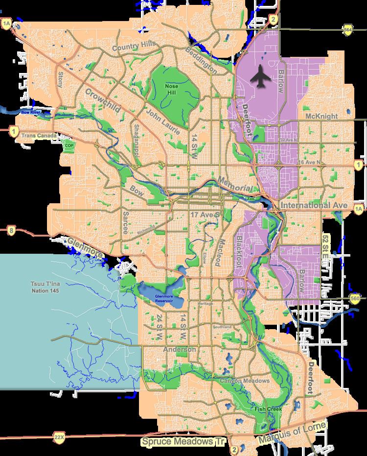
Map of Hawkwood, Calgary, AB, Canada
Hawkwood was established in 1981. It was named for a dairy farming family who came to Alberta from England in 1913. It is represented in the Calgary City Council by the Ward 2 councillor.
Demographics
In the City of Calgary's 2012 municipal census, Hawkwood had a population of 7003983100000000000♠9,831 living in 7003333100000000000♠3,331 dwellings, a -0.7% increase from its 2011 population of 7003989800000000000♠9,898. With a land area of 3.2 km2 (1.2 sq mi), it had a population density of 3,070/km2 (7,960/sq mi) in 2012.
Residents in this community had a median household income of $96,806 in 2005, and there were 9.1% low income residents living in the neighbourhood. As of 2000, 29.6% of the residents were immigrants. A proportion of 4.1% of the buildings were condominiums or apartments, and 5.5% of the housing was used for renting.
Education
The community is served by Hawkwood Elementary School (public school) and by St. Maria Goretti Elementary (Catholic). Students in the public system would then continue on to F.E. Osborne Junior High School and then on to Sir Winston Churchill High School, and beginning in September 2013, Robert Thirsk High School. Catholic system students go on to St. Jean Brebeuf Junior High School, and to St. Francis High School.