
Lowest elevation 0 m (0 ft) Canadian Postal Code B0H 1P0 Area 313.3 km² Local time Saturday 3:40 AM Area code 902 | Highest elevation 74 m (243 ft) Time zone AST (UTC−4) Telephone Exchange 234 Population 1,493 (2011) | |
 | ||
Weather -5°C, Wind NW at 11 km/h, 80% Humidity | ||
Havre Boucher /ˈhævər ˈbuːʃi/ is a Canadian village in Antigonish County, Nova Scotia.
Contents
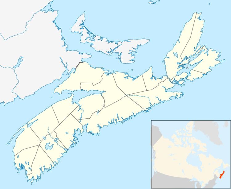
Map of Havre Boucher, NS, Canada
Description
Havre Boucher is one of Nova Scotia's 22 incorporated villages, offering its residents political control through an elected governing body known as a "village commission" which operates under the auspices of the Nova Scotia Municipal Services Act. The village takes its name from "Havre Boucher", a natural harbour that opens onto St. George's Bay to the north. The community has expanded from its original setting on the west side of the harbour to now encompass the communities of Auld's Cove, Cape Jack, East Havre Boucher, West Havre Boucher, Frankville and Linwood.
Havre Boucher is largely rural and largely dependent upon the fishing industry and as a service centre for the surrounding area.
History
Construction of the Canso Causeway, which opened in 1955, saw the Canadian National Railway mainline from Truro-Sydney being diverted from Linwood to an alignment north through Havre Boucher and Cape Jack, following the Strait of Canso to the causeway. Prior to that time, the railway ran from Linwood to Mulgrave where a ferry service operated to Point Tupper. Havre Boucher saw the construction of a large railway yard, which remains in operation today by the Cape Breton and Central Nova Scotia Railway.