
Population (2012) 103 Local time Saturday 5:28 AM | Canton Valdahon Area 9.61 km² | |
 | ||
Region Bourgogne-Franche-Comté Weather 6°C, Wind SW at 24 km/h, 76% Humidity | ||
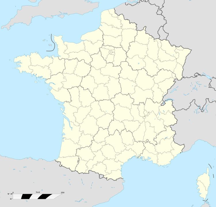
Hautepierre-le-Châtelet is a former commune in the Doubs department in the Bourgogne-Franche-Comté region in eastern France.
Contents
- Map of Hautepierre le ChC3A2telet 25580 Les Premiers Sapins France
- Cloches hautepierre le ch telet 25 eglise saint claude
- History
- References
Map of Hautepierre-le-Ch%C3%A2telet, 25580 Les Premiers-Sapins, France
Cloches hautepierre le ch telet 25 eglise saint claude
History
On 1 January 2016, Athose, Chasnans, Hautepierre-le-Châtelet, Nods, Rantechaux and Vanclans merged becoming one commune called Les Premiers-Sapins.
References
Hautepierre-le-Châtelet Wikipedia(Text) CC BY-SA