
Elevation 765 m (2,510 ft) Area 22.28 km² Local time Saturday 5:02 AM Dialling code 08026 | Time zone CET/CEST (UTC+1/+2) Population 8,083 (31 Dec 2008) Postal code 83734 Administrative region Upper Bavaria | |
 | ||
Weather 7°C, Wind W at 14 km/h, 80% Humidity | ||
Hausham is a municipality in the district of Miesbach in Bavaria in Germany.
Contents
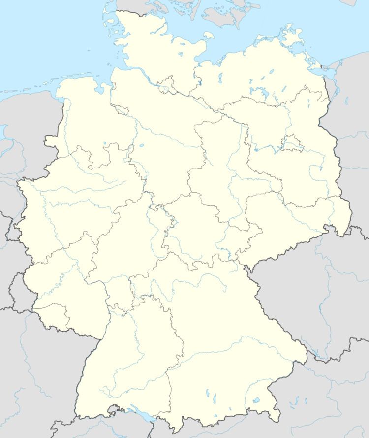
- Map of Hausham Germany
- geographical classification
- Districts
- Twin towns
- History
- Public transportation
- Famous people in Hausham
- References
Map of Hausham, Germany
geographical classification
Hausham is located approximately 45 km south of Munich, between Miesbach and Schliersee. It is surrounded to the south by mountains, including Huberspitz (1.052 m) and Neureuth (1.261 m).
Districts
Hausham's 13 districts are:
Twin towns
History
Hausham was created from the town of Agatharied on 27 April 1922. This was due to Hausham's growth through coal mining.
The first brown coal mine was opened in 1860 but couldn't compete with the cheaper fossil oil and mineral coal and closed 106 years later in 1966.
Public transportation
Hausham is located on a direct railway line to Munich and has two stations: (Hausham and Agatharied). The line is operated by the private railway Bayerische Oberlandbahn. In addition to rail links, the Hausham area is served by the RVO local bus service.