
OS grid reference TQ095755 Sovereign state United Kingdom Dialling code 020 Post town Feltham | London borough HillingdonHounslow Postcode district TW14 | |
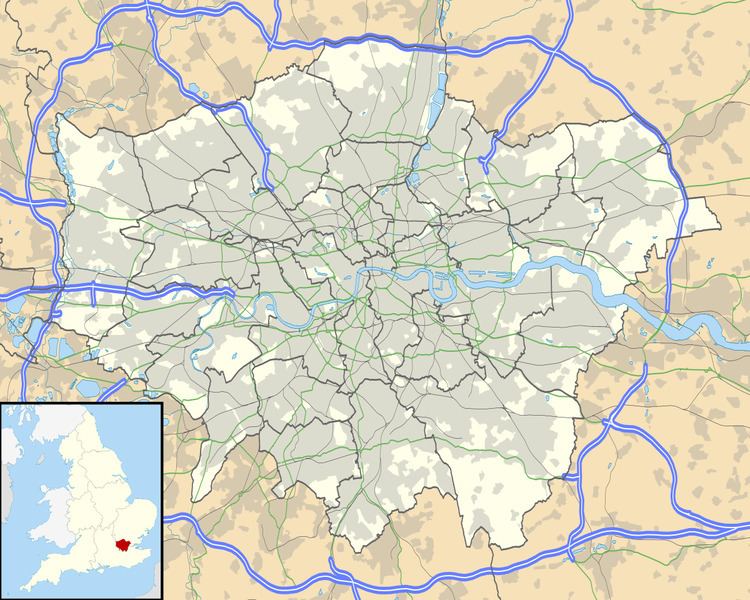 | ||
Hatton is a small settlement in the London boroughs of Hillingdon and Hounslow, on the southern perimeter of London Heathrow Airport and on the A30 road. It was a country village before built-up London spread that far west.
Contents
Etymology
Hatton's name comes from Anglo-Saxon Hǣþtūn = "heath farmstead"; until 1819 its cultivated area was surrounded by heath.
Neighbours
It is bordered by Feltham to the south, Bedfont to the west and Heathrow Airport to the north. The A30 road forms the borough boundary with Hillingdon; a border established in 1994, before then land north of the road had been in Hounslow.
Features and facilities
Hatton's main architectural features are a collection of industrial buildings providing ancillary services to Heathrow Airport. The area is noisy due to aircraft overhead on the southern approach to Heathrow. The local meeting place is a quiet little pub, "The Green Man", owned by the Punch Taverns. Adjoining the Green Man is a field where horses, geese, cows and other livestock live: Hounslow Urban Farm (next to Hatton Cemetery), the largest inner city farm in London.
Hatton has a small cafe, but no shops or post office, but there is a convenience store and newsagents within Hatton Cross station. There is a 24-hour Tesco supermarket and petrol station adjoining the urban farm to the south. Hatton no longer has a church, since the chapel building in Steam Farm Lane was converted for office use in 2000. Most of the local housing is mainly semi-detached or maisonettes built between the 1930s and the 1950s. Several older properties remain in Green Man Lane, including the old Manor house (now the headquarters of a car leasing company) and two other 18th century dwellings. The 17th century blacksmith's yard and buildings have been converted into a family home.
East of Hatton is a large lake, which used to be a sand and gravel quarry. It is over 500 metres long, but divided by a new road, The Causeway.
North of the Great South West Road
When London Heathrow Airport was built, it obliterated all of Hatton that was north of the A30 road (Great South-West Road); that lost part of Hatton straggled northward along Hatton Road, which used to run straight right across what is now the airport from Hatton to Harlington Corner (A4 road and A437 road crossing). Notable buildings along Hatton Road included, in order from north to south:
These buildings were demolished in or before 1949. Hatton Road survives as a north end stump (Hatton Road North), visible surface tarmac and wide cropmark on grass east of the end of the north runway, unnamed alignments among service area buildings, the south part of the airport internal road Eastchurch Road, and a south end stump.
South of the Great South West Road
Economy
Air France-KLM's head office for United Kingdom and Ireland operations, which includes facilities for Air France and KLM, is located in Plesman House in Hatton Cross. The facility's inauguration was on 6 July 2006. Air France moved the office from Hammersmith to Hatton. The Plesman House, outside of Terminal 4 of Heathrow Airport, has the UK commercial team, sales team, and support team.
Transport
The nearest tube station is Hatton Cross tube station. The area is served by a number of London Buses routes, connecting Hatton to the airport, Hounslow, Northolt, Southall, Richmond and Staines.
Free parking is possible in Hatton Lane, but the roads around Hatton are either red routes (stopping not allowed), double yellow lines, or residents' parking (Monday - Friday 8:30 - 5:30). A few credit card paid parking spaces are available near the Green Man public house. The Green Man has its own parking spaces, but long term parking is not encouraged.
Stagecoaches would once have traversed the area en route from London to the south west, a heritage remembered now by this being the location of one of the depots of Ashford Luxury Coaches, whose "Windsorian" branded coaches are used to transport members of the British Royal Family.