
Website 192.168.1.1 | Time zone PST (UTC+5) | |
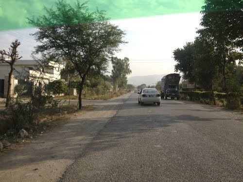 | ||
Hattar (Urdu: حطار) is one of the 44 union councils, administrative subdivisions, of Haripur District in the Khyber Pakhtunkhwa province of Pakistan. It is located south of the district capital, Haripur, at 33°51'1N 72°51'8E and borders Taxila Tehsil of Punjab province.
Contents
Map of Hattar, Pakistan
Industrial Estate Hattar
Industrial Estate Hattar is situated 16 kilometer at Kot Najibullah. It has been established in 1985-86 at total area of 1,032 acres (4.18 km2) of land. There are around 117 operational units that are mainly composed of food and beverage, textile, crockery, paper printing, chemical, cement, publishing, chemical, rubber, carpets and leather products. It is served by Hattar railway station.
References
Hattar, Pakistan Wikipedia(Text) CC BY-SA