
District Barddhaman PIN 713519 Local time Saturday 7:21 AM | Time zone IST (UTC+5:30) Website bardhaman.gov.in Population 7,141 (2011) | |
 | ||
Weather 23°C, Wind S at 8 km/h, 91% Humidity | ||
Hatsimla is a census town Purbasthali I CD Block in Kalna subdivision of Barddhaman district in the Indian state of West Bengal.
Contents
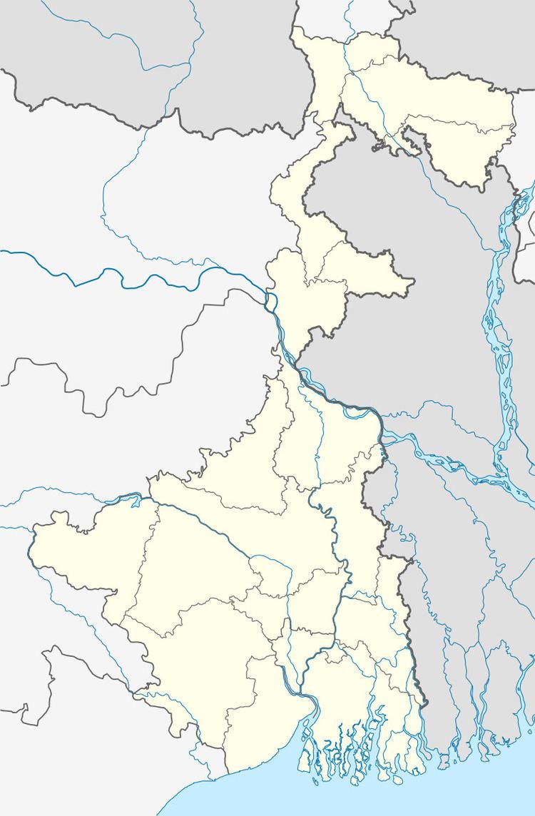
Map of Hatsimla, West Bengal
Geography
Hatsimla is located on the agriculturally rich alluvial plains between the Bhagirathi, Ajay and Damodar rivers. Temperatures in this region varies from 17-18 °C in winter to 30-32 °C in summer.
Demographics
As per the 2011 Census of India Hatsimla had a total population of 7,141, of which 3,727 (52%) were males and 3,414 (48%) were females. Population below 6 years was 731. The total number of literates in Hatsimla was 5,415 (84.07% of the population over 6 years).
As of 2001 India census, Hatsimla had a population of 6,175. Males constitute 54% of the population and females 46%. Hatsimla has an average literacy rate of 69%, higher than the national average of 59.5%: male literacy is 75%, and female literacy is 61%. In Hatsimla, 12% of the population is under 6 years of age.
Education
Hatsimla has one primary school.