
Country | Area 0.9 km2 | |
 | ||
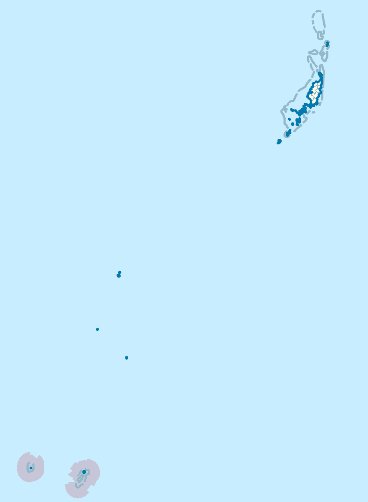
Map of Hatohobei
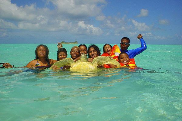
Tobi Island, or Hatohobei (Tobian language), is the southernmost of Palau's sixteen states, consisting of Tobi Island and Helen Reef. The total land area is about 0.88 km². The population was 80 in 1962, 51 in 1995, 23 in 2000, and 40 in 2014. Tobian, English and Sonsorolese are the official languages of Hatohobei State.
Contents
The individual islands of Hatohobei, together with the islands of the state of Sonsorol, form the Southwest Islands of Palau.
Hatohobei dancers ikemamari
Tobi Island
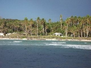
Tobi (Hatohobei or Kodgubi) Island was the main island of the state (together with the permanently manned Marine Ranger Station on the second island, Helen Island). The land area is 0.85 km². Its highest point is 6 m, while most of the island is less than 3 m high. Most of the houses were situated in the village of Tobi (Hatohobei) on the southwestern side of the island, the former state capital. The island is covered with coconut palms. A cultivated area is situated near the center of the island. The island is fringed by a reef that extends up to 800 m from the shore in the north.
Helen Reef
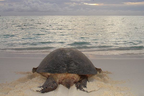
Helen or Helens Reef (Hotsarihie), about 70 km east of Tobi Island, is a largely submerged atoll, with just one islet (Helen Island). The atoll is 25 km long and nearly 10 km wide, with a lagoon area of 103 km² and a total area including reef flat of 163 km². A channel leads into the lagoon from near the middle of the western side of the reef. Immediately south of the channel is Round Rock, which dries. The lagoon has about 85 patch and pinnacle Reefs.

When the tide is falling, the water flows out of the lagoon and over the reef in all directions until the reef is uncovered, and then flows out through the channel on the western side. On the rising tide, a reverse effect is noted. Only few parts of the reef completely dry.
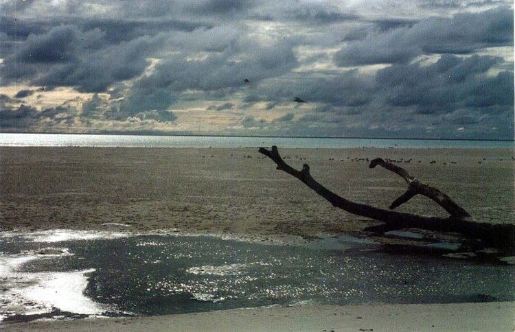
Helen Island, the only island of the reef, is located near its northern tip. It is tiny in comparison to Helen Reef, about 20 to 40 m wide and 400 m long, or about 0.03 km² of land area. The densely wooded island sits atop a sand dune, which is 0.25 km² in extent and which is moving southeast, falling into the lagoon, at a rate 3 to 4 m per year. The island is uninhabited except for a marine ranger station of Hatohobei State, which was established in the early 1990s on the eastern side of the island, to guard the reef against foreign poachers. The station is permanently occupied by a staff of three.
Helen island was discovered by the Spanish naval officer Felipe Tompson in 1773, who charted it as San Felix shoal.
Transit Reef
50 km east of Helen Reef is Transit Reef (Pieraurou), which appears on some maps and which is referenced as an island in the Hatohobei State constitution and constitutes the southernmost feature of Palau. Its existence as island, however, is doubtful, as it is not listed in the current Sailing Directions. The literal translation of its Tobian name Pieraurou is "Sandy Navigation Point", referring to a submerged sand bar rather than a reef or island.
History
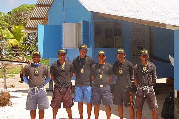
During December 2012, the state suffered the severe Typhoon Bopha, and people were evacuated to Akebesang in Koror. There were 41 from Tobi, and 3 rangers from Helen. In 2013, the ranger station on Helen was fixed following damage caused by the Typhoon. The government decided to re-inhabit only Sonsorol Island, as it was cheaper and closer to get supplies to. The people of Tobi were given lands on Sonsorol, and now live there. In 2016, only Helen station is manned by 3 rangers.