 | ||
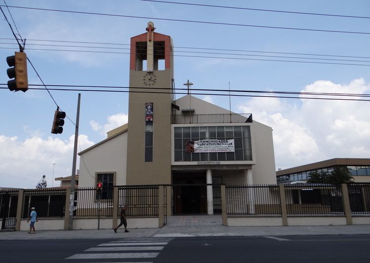
Hatillo is the tenth district in San José Canton, the second highest of 470 districts in population density in Costa Rica, after Tibás's León XIII District.
Contents
- Map of Hatillo District San JosC3A9 Costa Rica
- Geography and Demography
- District Information
- References
Map of Hatillo District, San Jos%C3%A9, Costa Rica
Geography and Demography
Hatillo District adjoins Alajuelita Canton to the south, Mata Redonda and Hospital districts to the north and San Sebastián District to the east. With only 4.27 km², the district is home to 61,874 inhabitants (as of December 31, 2008), making it the second highest district in terms of population density in Costa Rican districts; there are 14,490.40 inhabitants per km².
District Information
Hatillo District includes the "barrios" (or neighbourhoods) of 15 de Setiembre, 25 de Julio, Hatillo1, Hatillo 2, Hatillo3, Hatillo 4, Hatillo 5, Hatillo 6, Hatillo 7, Hatillo 8, Hatillo Centro, Los Aserrines, Sagrada Familia, Tiribí, Topacio and Vivienda en Marcha.
