
Admin. region Darmstadt Elevation 130 m (430 ft) Area 18.92 km² Population 7,297 (30 Jun 2009) Dialling code 06055 | District Main-Kinzig-Kreis Time zone CET/CEST (UTC+1/+2) Local time Friday 11:02 PM Postal code 63594 Administrative region Darmstadt | |
 | ||
Weather 8°C, Wind SW at 13 km/h, 70% Humidity | ||
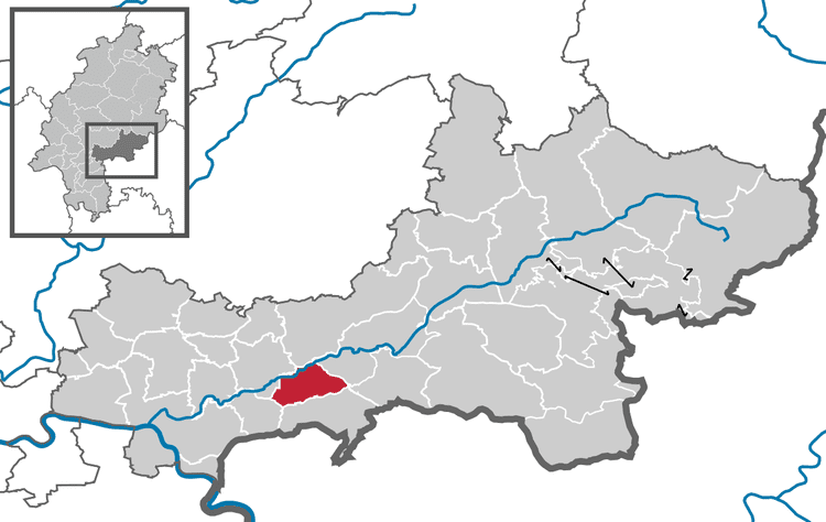
Hasselroth is a municipality in the Main-Kinzig district, in Hesse, Germany.
Contents
- Map of 63594 Hasselroth Germany
- Neighbouring places
- Subdivision of the municipality
- History
- Merger
- Traffic
- References
Map of 63594 Hasselroth, Germany
Neighbouring places
The municipality of Gründau and the city of Gelnhausen is located in the north of Hasselroth. The municipality of Linsengericht is located in the east and the municipality of Freigericht is located in the south of Haselroth. The municipality of Rodenbach in southwest and the city of Langenselbold is located in the west of Hasselroth.
Subdivision of the municipality
The municipality consistst of three geographically separated districts:
History
The first documentary reference of Gondsroth und Niedermittlau dates from 1151
Merger
As on 1. October 1971 the villages Neuenhaßlau and Gondsroth merged to form the new municipality of Hasselroth. On 1. July 1974 the former Niedermittlau municipality joined with the municipality of Hasselroth.