Website www.hassa.bel.tr Area 495 km² | Post code 31710 Elevation 430 m Local time Saturday 12:17 AM | |
 | ||
Weather 8°C, Wind SW at 6 km/h, 94% Humidity | ||
Hassa is a district of Hatay Province, Turkey on the eastern side of the Nur (Amanos) Mountains, looking towards the city of Gaziantep. It is on the Antakya-Malatya road. In the late 19th and early 20th century, Hassa was part of the Adana Vilayet of the Ottoman Empire. Hassa was a district in Cebel-i Bereket Province from 1923 to 1933 and then a part of Gaziantep Province until 1939.
Contents
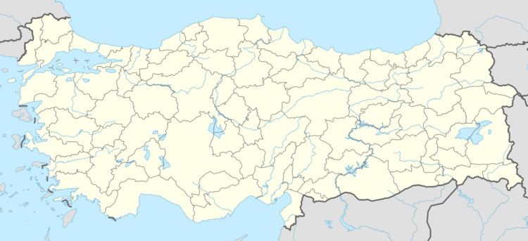
Map of Hassa, Hatay, Turkey
Hassa is an olive-growing district. The trees were first brought there by Ottoman governor Derviş Paşa in the late 19th century.
Demography
Hassa is a Sunni Turkmen district of Hatay province.
References
Hassa, Hatay Wikipedia(Text) CC BY-SA
